
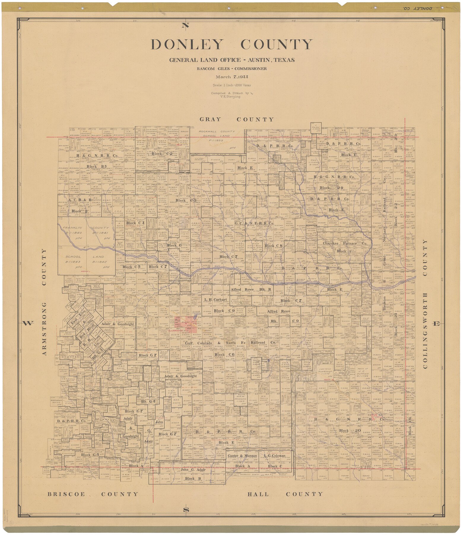
1944/3/7 (Creation Date) Map features Lake Creek, McCormick Creek, Red Mud Creek, Lampton Creek, Red Hot Creek, Camp Creek, Minnie Creek, Quail Creek & more.
Hand lettered.
Note on reverse side: “Compilation completed March 7, 1944. Inking completed May 26, 1944. Tracing completed July 5, 1944. Placed in official use July 5, 1944. Replaced [on sticks] by copy June 15, 1946.”
Texas General Land Office (Publisher) Bascom Giles (GLO Commissioner) V.E. Sterzing (Draftsman) V.E. Sterzing (Compiler)
Height x Width
46.0 x 40.5 inches
116.8 x 102.9 cm
All maps are duplicate prints shipped from the Archives of the Texas General Land Office (GLO). GLO map duplication fees are in accordance with TEX. ADMIN. CODE §3.31(b)(5)(F) and proceeds obtained under the TEX. ADMIN. CODE for copying maps benefits Save Texas History. Any additional charges assessed by this website are at the sole discretion of TSHA. The GLO is not affiliated with TSHA and the availability of GLO Archive maps on this website does not constitute a partnership between the GLO and TSHA. Any and all claims, disputes, or remedies arising from a transaction on this website must be pursued through TSHA.


Reviews
There are no reviews yet