
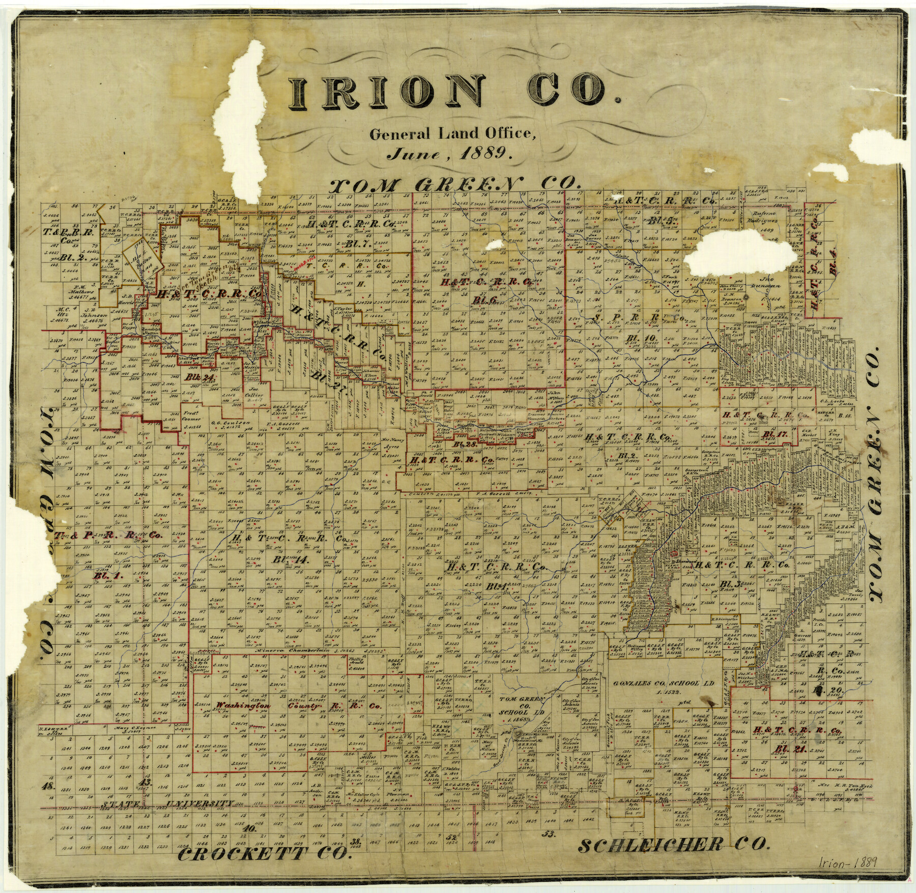
1889 (Creation Date) Map features Correll Creek, Majors Creek, Adams Creek, Annie’s Creek, Sherwood, Good Spring Creek, Monument Mountain.
Texas General Land Office (Publisher)
Height x Width
21.5 x 22.0 inches
54.6 x 55.9 cm
All maps are duplicate prints shipped from the Archives of the Texas General Land Office (GLO). GLO map duplication fees are in accordance with TEX. ADMIN. CODE §3.31(b)(5)(F) and proceeds obtained under the TEX. ADMIN. CODE for copying maps benefits Save Texas History. Any additional charges assessed by this website are at the sole discretion of TSHA. The GLO is not affiliated with TSHA and the availability of GLO Archive maps on this website does not constitute a partnership between the GLO and TSHA. Any and all claims, disputes, or remedies arising from a transaction on this website must be pursued through TSHA.


Reviews
There are no reviews yet