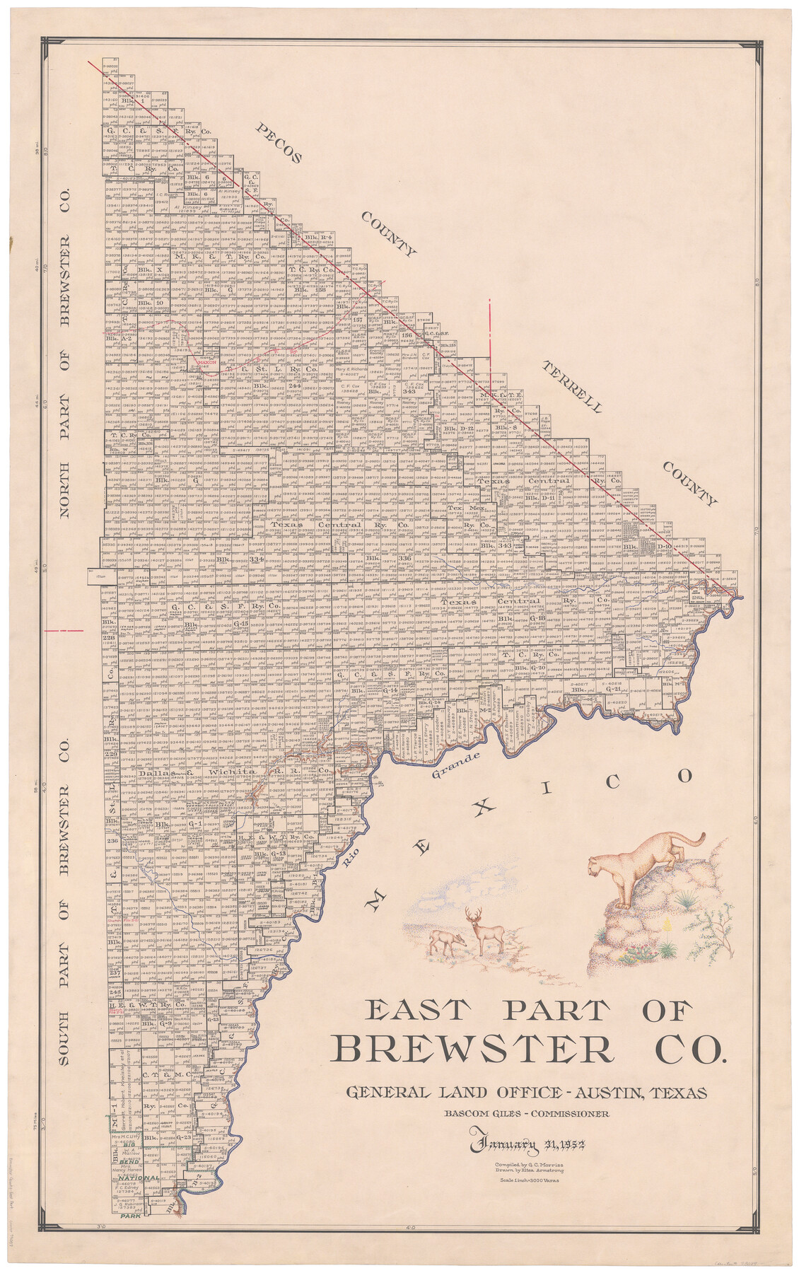
1952/1/31 (Creation Date) Map features SP, Maxon, San Francisco Creek, Rio Grande, Reagan Canyon, Maravillas Creek, Big Bend National Park & more.
Texas General Land Office (Publisher)
Eltea Armstrong (Draftsman)
Bascom Giles (GLO Commissioner)
G.C. Morriss (Compiler)
Height x Width
48.5 x 30.7 inches
123.2 x 78.0 cm
For more information about our relationship with GLO Maps, please see our GLO Maps Disclaimer.


Reviews
There are no reviews yet