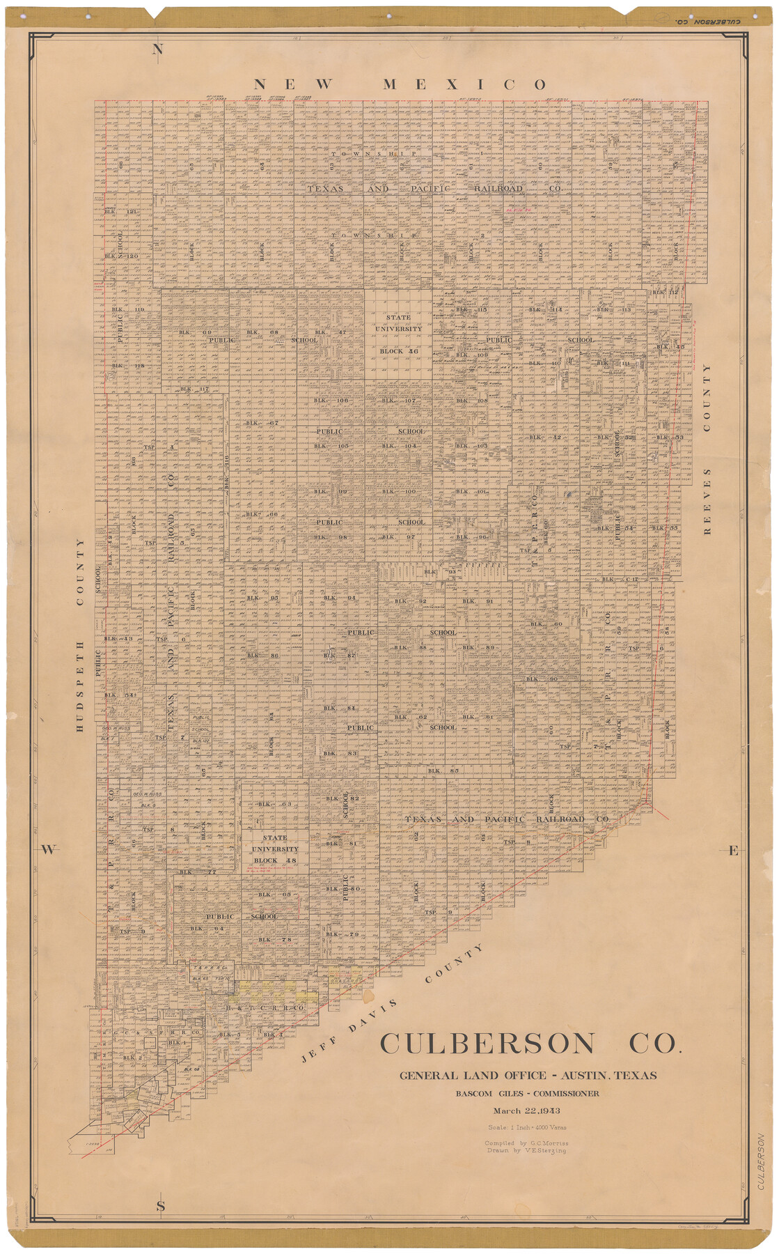
1943/3/22 (Creation Date) Map features Kent, Boracho, Plateau, T&P, Van Horn, Collado, Fay & more.
Texas General Land Office (Publisher) Bascom Giles (GLO Commissioner) V.E. Sterzing (Draftsman) G.C. Morriss (Compiler)
Height x Width
52.2 x 33.2 inches
132.6 x 84.3 cm
Hand lettered.
Note on reverse side: “Compilation completed March 22, 1943. Inking completed August 12, 1943. Tracing completed October 5, 1943. Placed in official use October 7, 1943. Replaced [on sticks] by copy June 17, 1946.”
For more information about our relationship with GLO Maps, please see our GLO Maps Disclaimer.


Reviews
There are no reviews yet