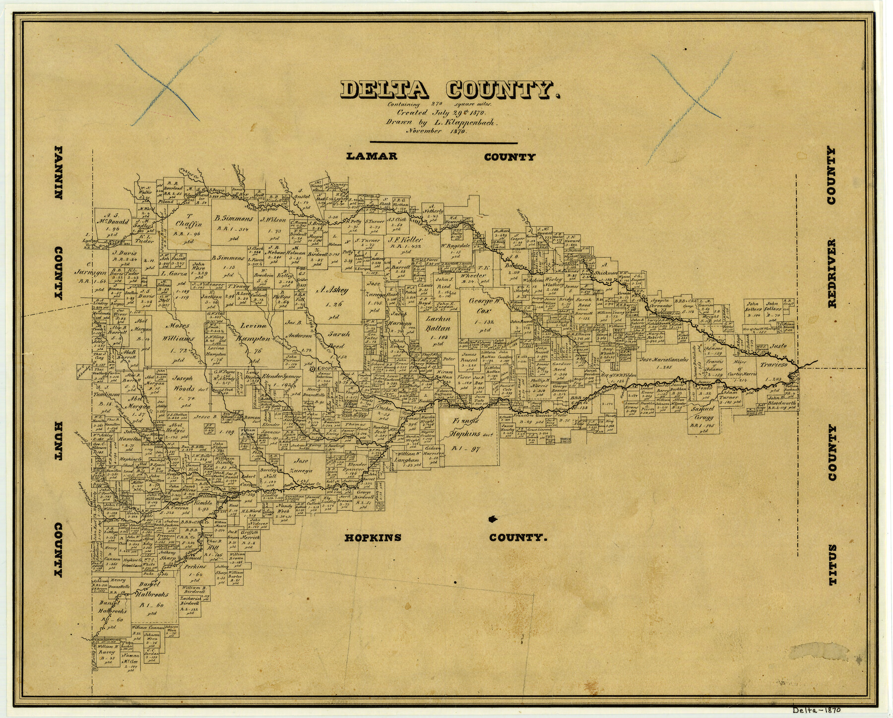
1870 (Creation Date) Map features West Brushy Creek, Camp Johnson Creek, Barnet’s Creek, Jurnigan’s [sic] Creek, West Fork of Jurnigan’s [sic] Creek, John’s Creek, Doctors Creek, Cooper, Richland Creek & more.
Texas General Land Office (Publisher) L. Klappenbach (Draftsman)
Height x Width
15.2 x 18.8 inches
38.6 x 47.8 cm
Note on map: “Created July 29, 1870 containing 270 square miles”.
For more information about our relationship with GLO Maps, please see our GLO Maps Disclaimer.


Reviews
There are no reviews yet