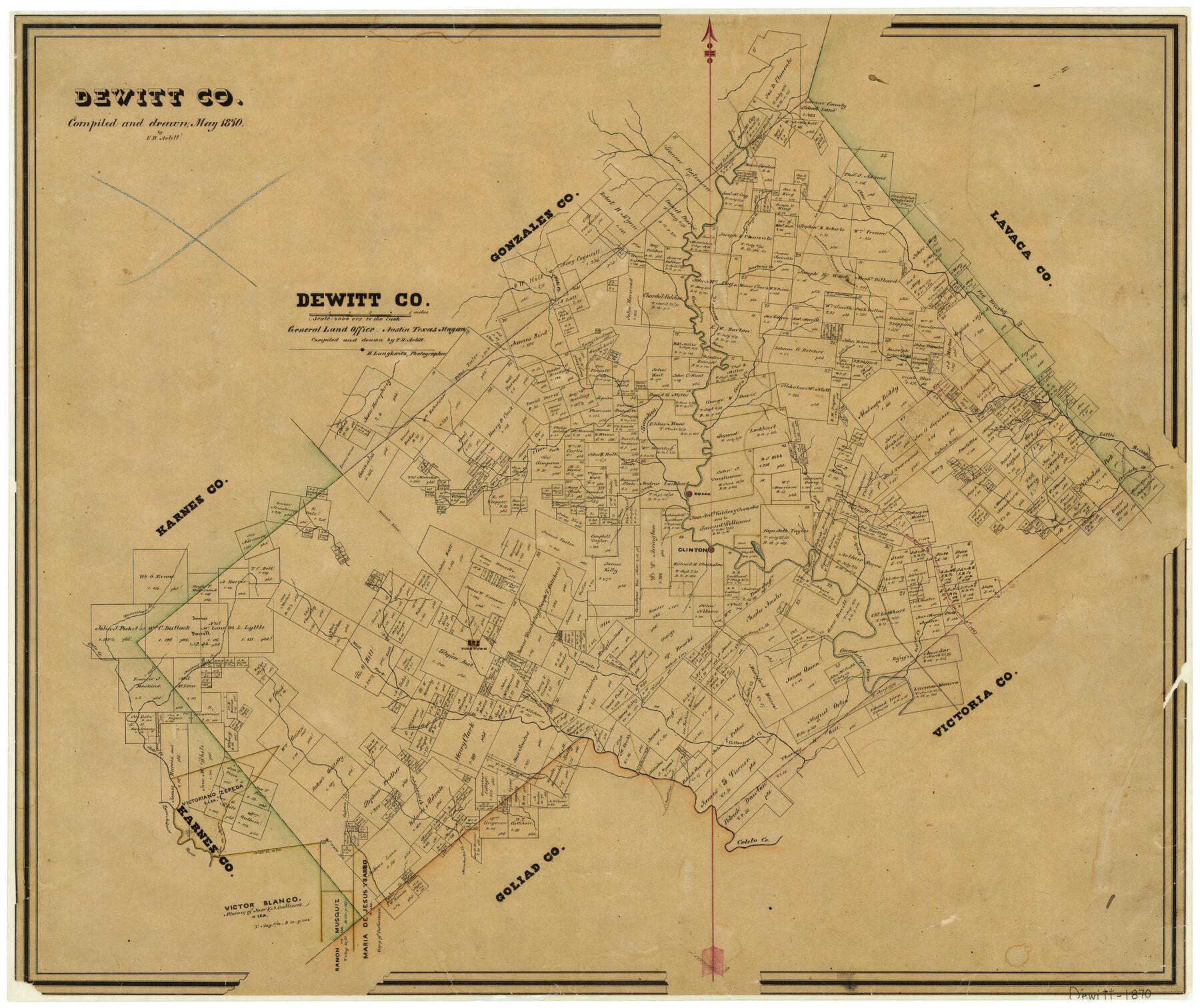
1870 (Creation Date) Map features Mustang Creek, Clinton, Prices Creek, 13 Mile Creek, Yorktown, West Fork of Smith’s Creek, East Fork of Smith Creek, Smith Creek & more.
Texas General Land Office (Publisher) Herman Lungkwitz (Draftsman) F.H. Arlitt (Draftsman) F.H. Arlitt (Compiler)
Height x Width
23.0 x 27.4 inches
58.4 x 69.6 cm
For more information about our relationship with GLO Maps, please see our GLO Maps Disclaimer.


Joel Tucker (verified owner) –
David (verified owner) –
the map is wonderful…the service was quick and simple