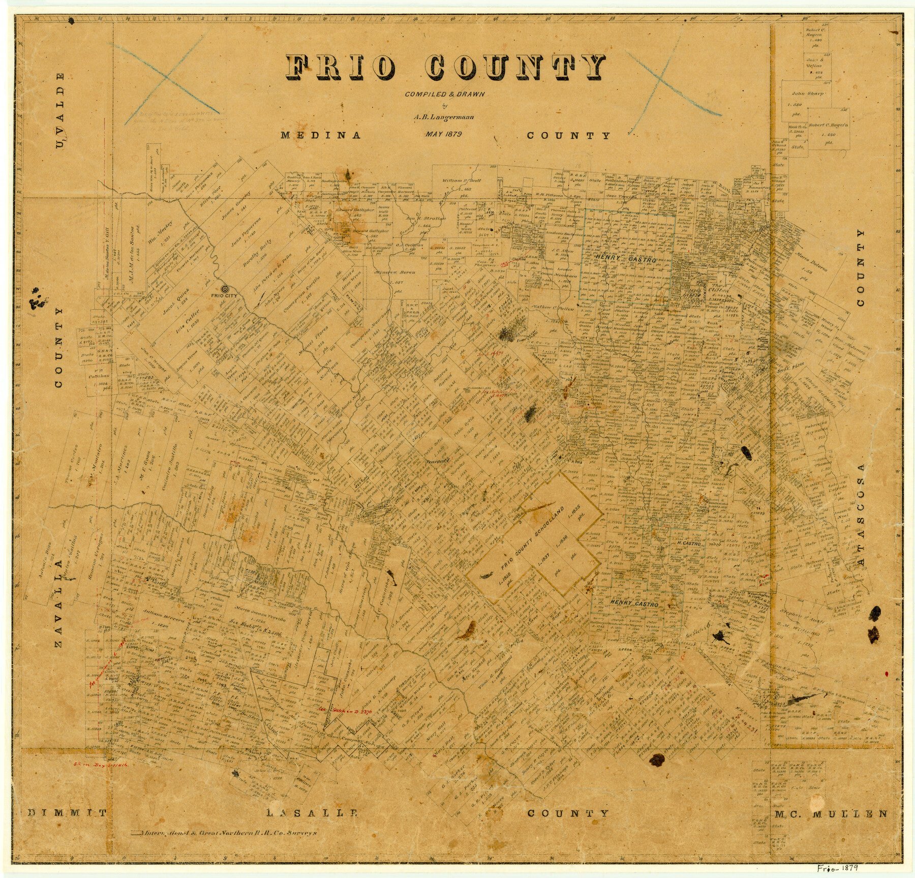
1879 (Creation Date) Map features Hondo Creek, Tawacany [sic] Creek, Frio City, Black Creek, Huisache Lake, Pearsall & more.
Texas General Land Office (Publisher)
A.B. Langermann (Compiler)
A.B. Langermann (Draftsman)
Height x Width
22.7 x 23.6 inches
57.7 x 59.9 cm
For more information about our relationship with GLO Maps, please see our GLO Maps Disclaimer.


Reviews
There are no reviews yet