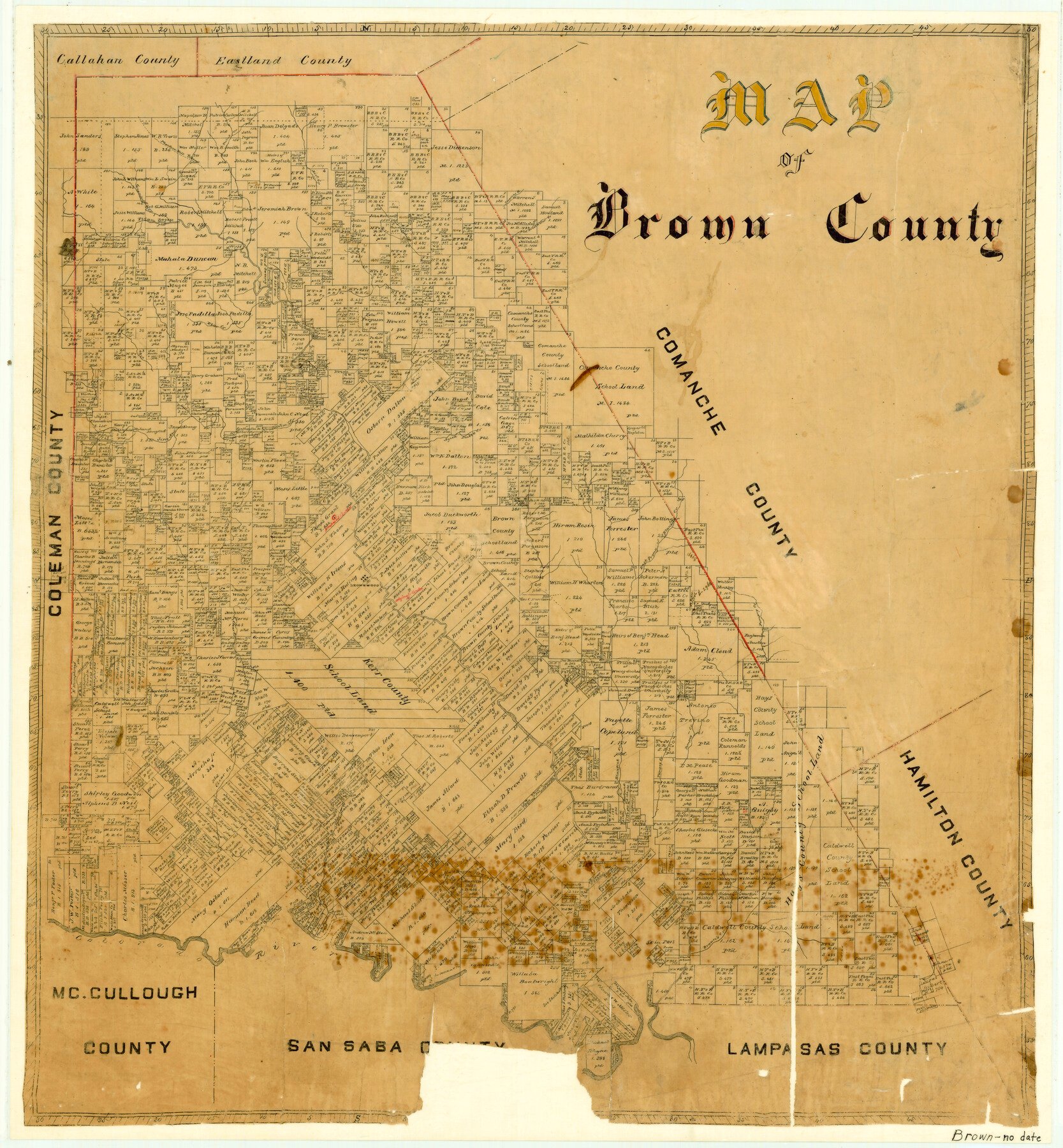
Map features East Prong of Blanket Creek, Colorado River, Mesquite Creek, East Fork of Indian Creek, West Fork of Indian Creek, Brown’s Creek, Pompey Creek, Blanket Creek & more.
Texas General Land Office (Publisher)
Height x Width
25.4 x 23.5 inches
64.5 x 59.7 cm
For more information about our relationship with GLO Maps, please see our GLO Maps Disclaimer.


Reviews
There are no reviews yet