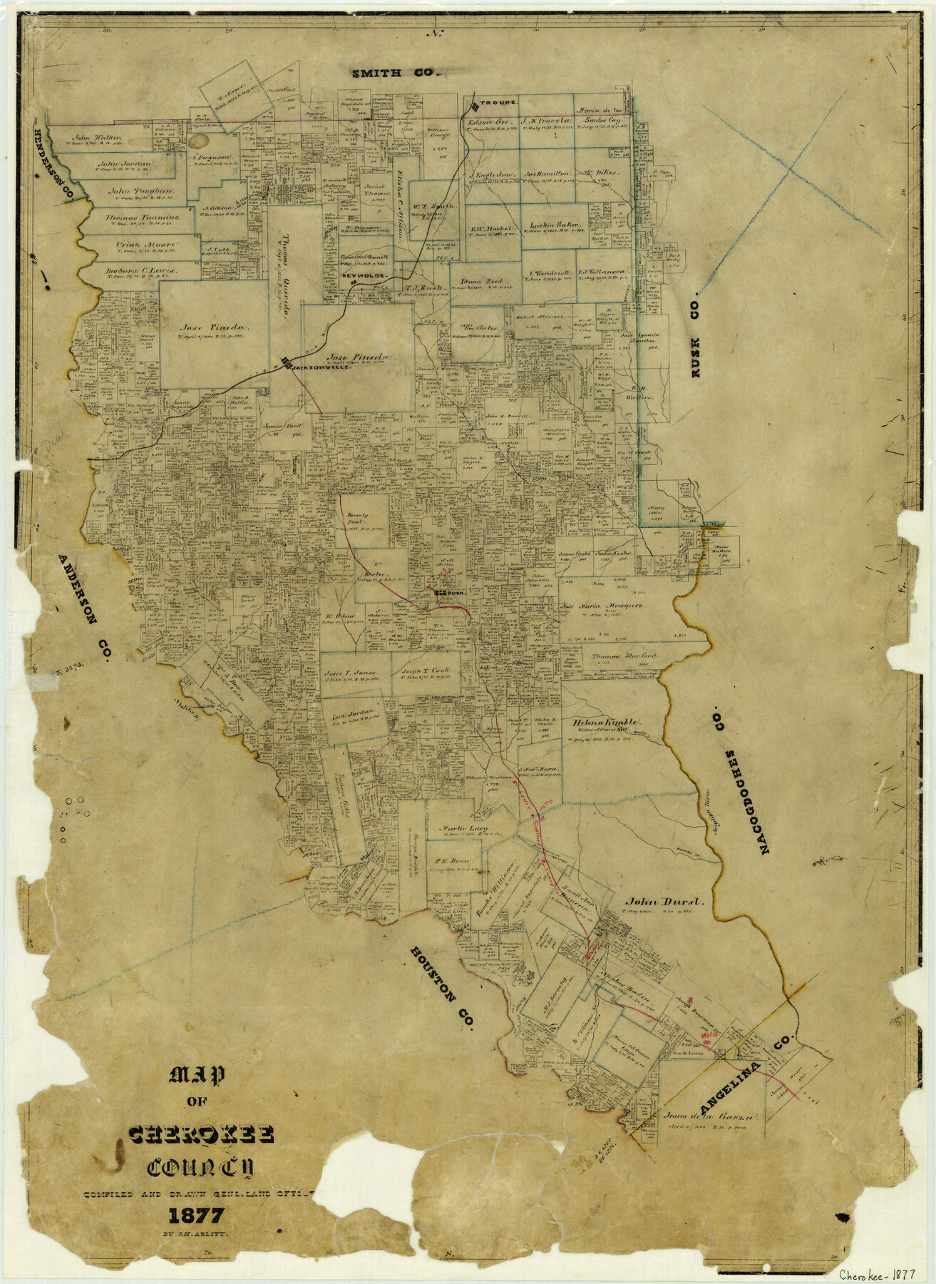
1877 (Creation Date) Map features Troupe, Reynolds, I&GN, Jacksonville, Mud Creek, Neches River, Striker Creek, Rusk & more.
Texas General Land Office (Publisher)
F.H. Arlitt (Draftsman)
F.H. Arlitt (Compiler)
Height x Width
29.0 x 21.2 inches
73.7 x 53.8 cm
For more information about our relationship with GLO Maps, please see our GLO Maps Disclaimer.


Reviews
There are no reviews yet