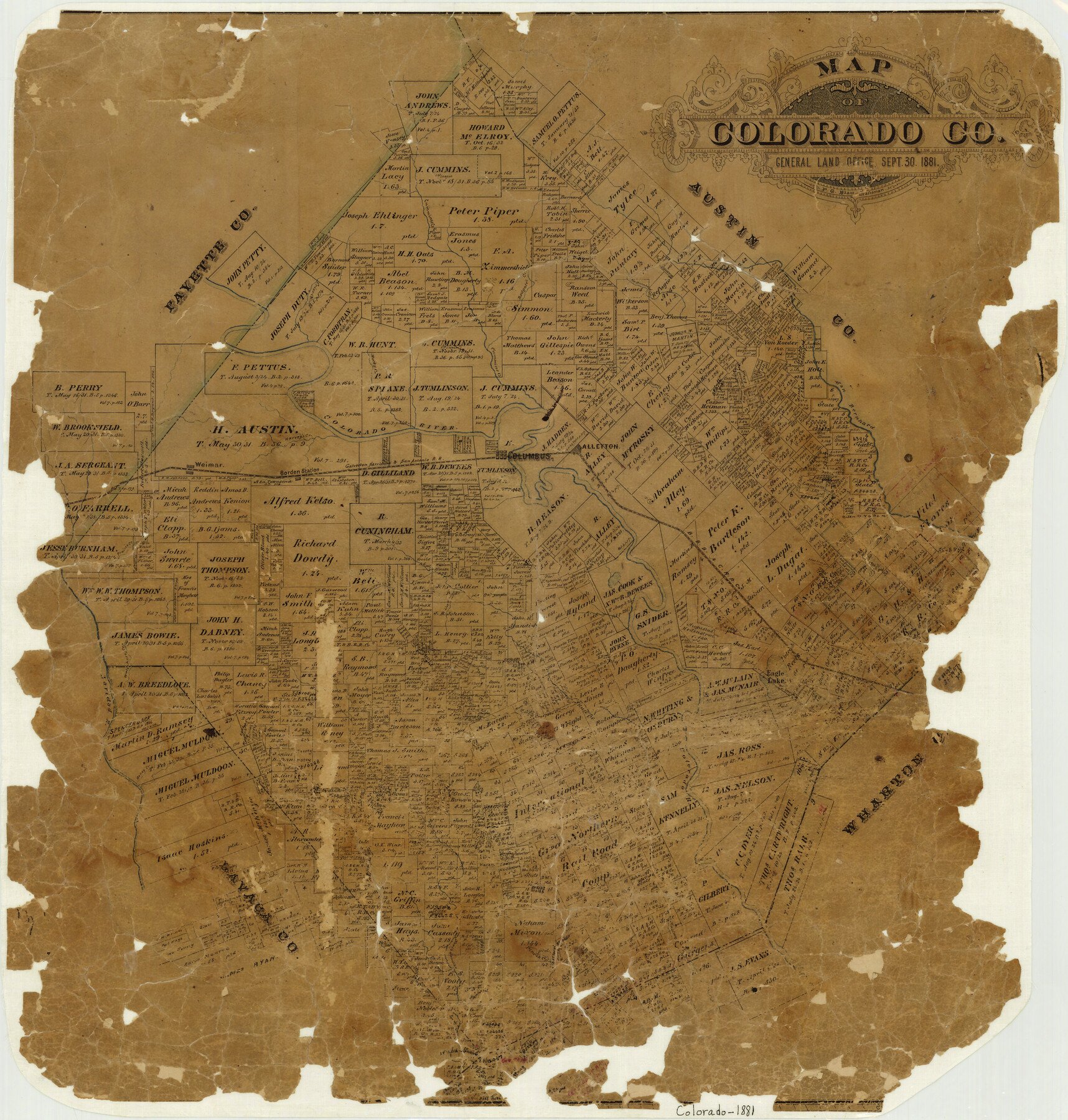
1881/9/30 (Creation Date) Map features Weimar, Mustang Creek, Pin Oak Creek, North Sandies Creek, Honey Creek, Navidad River, Waterhole Creek, Skull Creek & more.
Texas General Land Office (Publisher)
F.G. Blau (Draftsman)
Height x Width
22.5 x 21.4 inches
57.2 x 54.4 cm
For more information about our relationship with GLO Maps, please see our GLO Maps Disclaimer.


Henry S. (verified owner) –
As Per our agreement. You sell- i buy