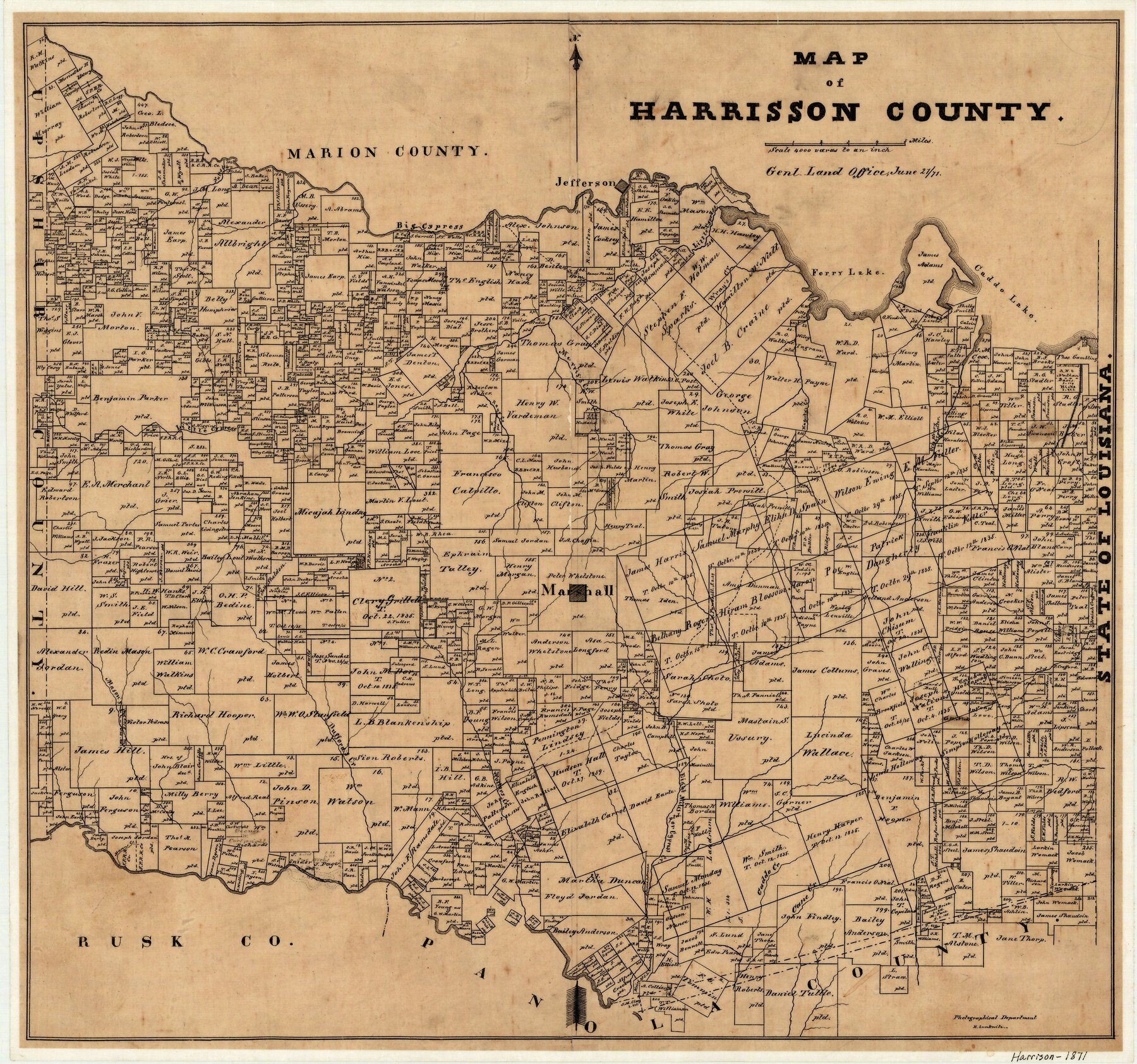
1871/6/21 (Creation Date) Map features Morris’s Creek, Wray’s Creek, Caddo Lake, Cane Creek, Caddo Creek, Village Creek, Hagerty’s Creek, Ferry Lake, Jefferson, Big Cypress Creek & more.
Texas General Land Office (Publisher)
Herman Lungkwitz (Draftsman)
Height x Width
18.0 x 19.1 inches
45.7 x 48.5 cm
For more information about our relationship with GLO Maps, please see our GLO Maps Disclaimer.


Reviews
There are no reviews yet