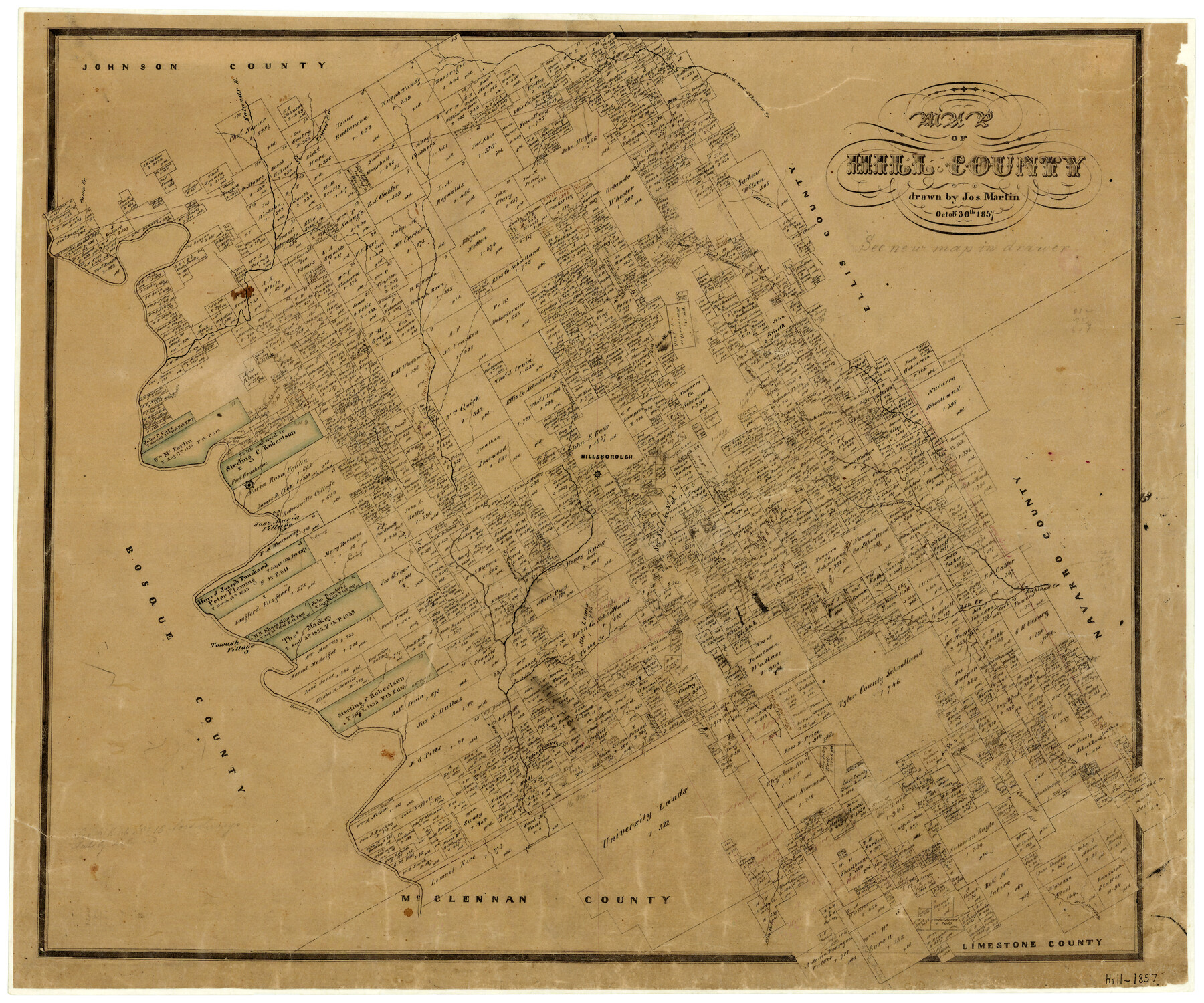
1857/10/30 (Creation Date) Map features Uguila Creek, Rio Navasoto, Pin Oak Creek, Elm Fork, Elingtons Creek, Dallas Road, Main Fork of Richland Creek, Richland Creek & more.
Texas General Land Office (Publisher)
Joseph Martin (Draftsman)
Height x Width
21.5 x 25.6 inches
54.6 x 65.0 cm
For more information about our relationship with GLO Maps, please see our GLO Maps Disclaimer.


Reviews
There are no reviews yet