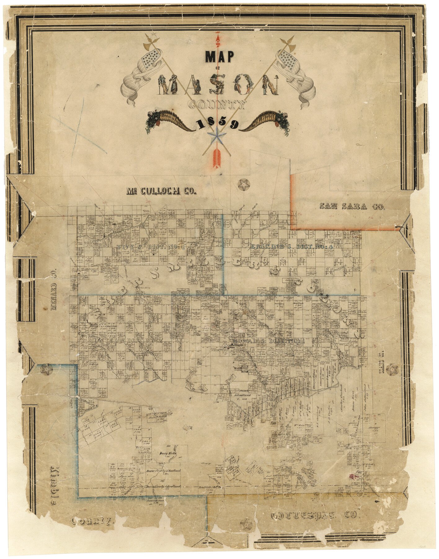
1859 (Creation Date) Map features Bear Creek, Mountain Spring, Fort Chadbourne Road, Salt Fork of Llano River, Middle Fork of Llano River, East Fork of Llano River, Llano River Comanche Creek, Mason (abandoned), Mill Creek & more.
Texas General Land Office (Publisher)
F.H. Arlitt (Draftsman)
Height x Width
28.4 x 22.4 inches
72.1 x 56.9 cm
For more information about our relationship with GLO Maps, please see our GLO Maps Disclaimer.


Reviews
There are no reviews yet