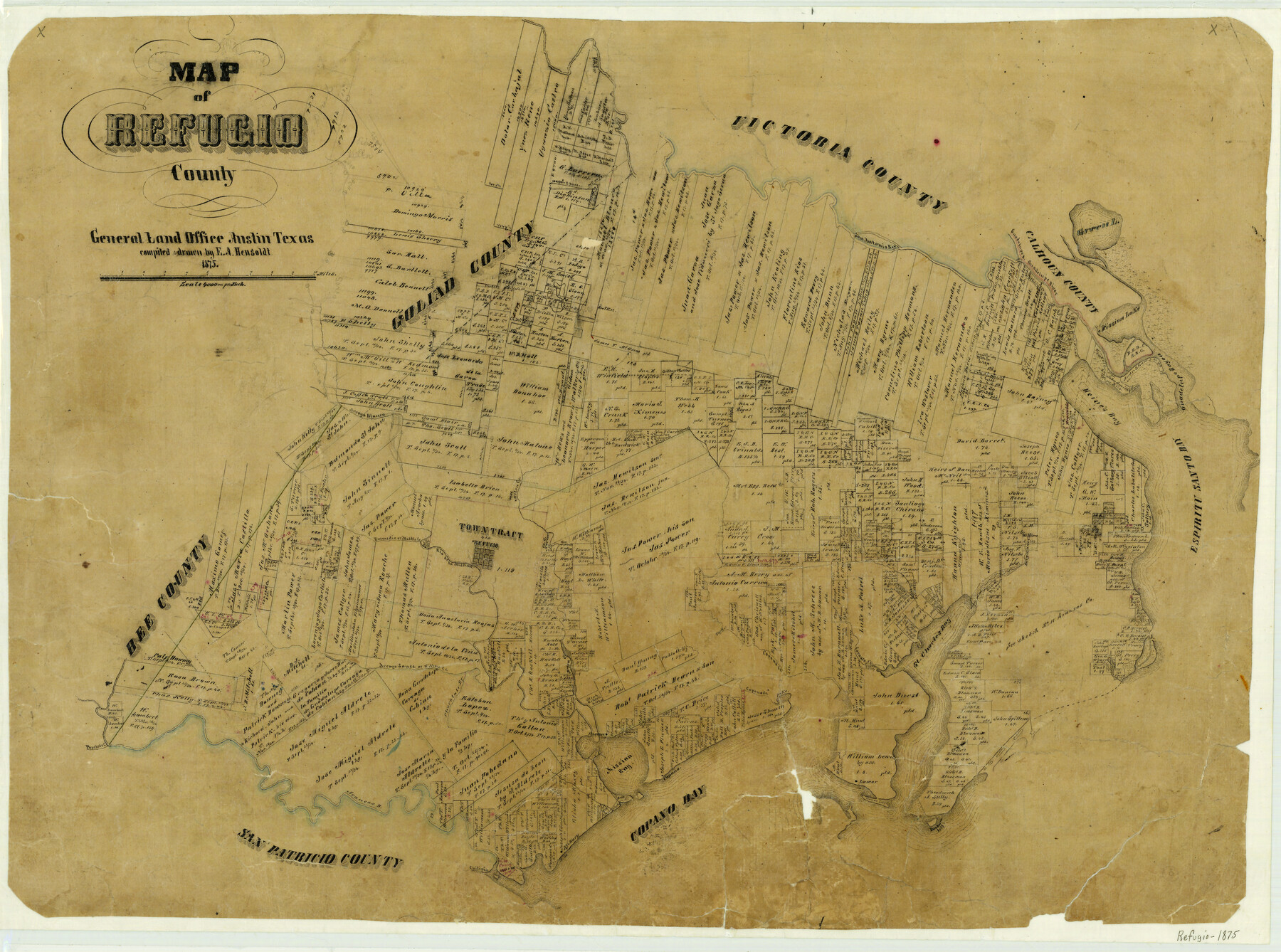
1875 (Creation Date) Map features St. Mary, Copano Creek, Cavasso Creek, St. Charles Bay, Preston, Mission Bay, Aransas River, Papelote Creek & more.
Texas General Land Office (Publisher)
E.A. Hensoldt (Draftsman)
E.A. Hensoldt (Compiler)
Height x Width
20.9 x 28.2 inches
53.1 x 71.6 cm
For more information about our relationship with GLO Maps, please see our GLO Maps Disclaimer.


Ann Alvear (verified owner) –