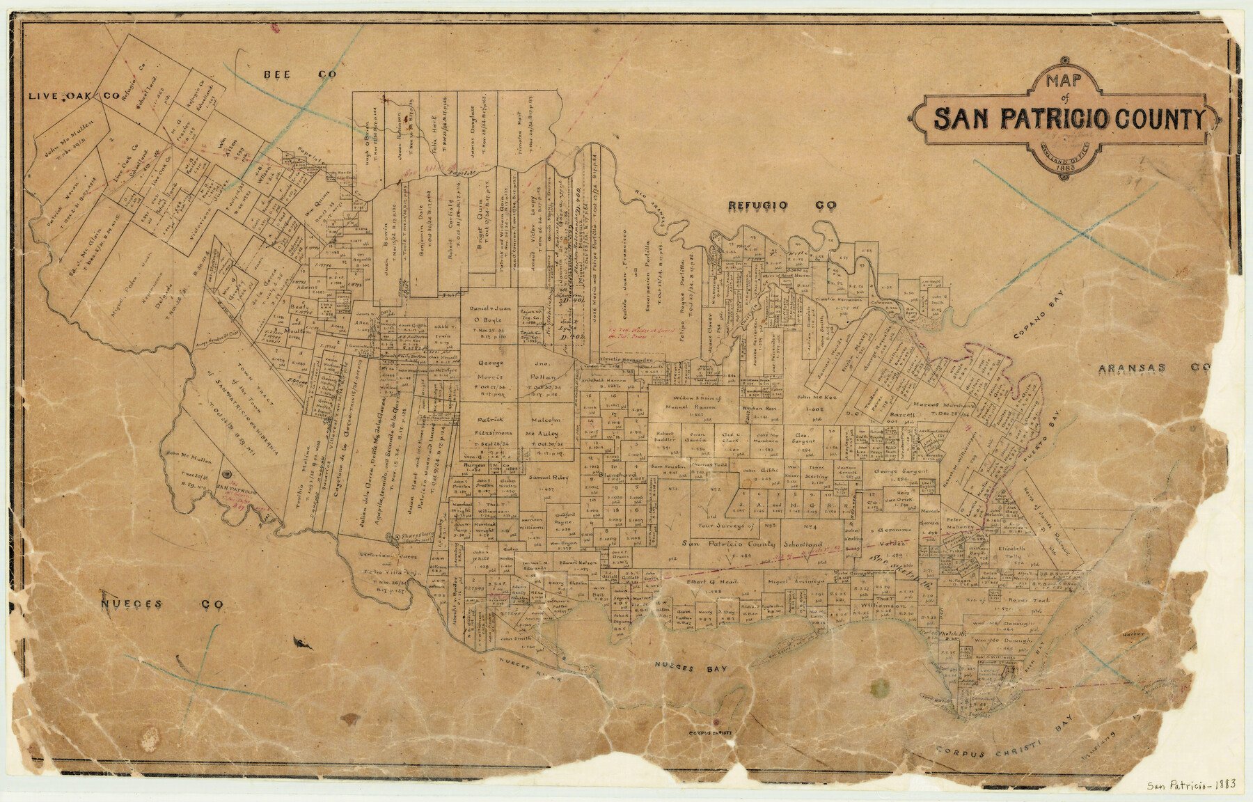
1883 (Creation Date) Map features Rio Aransas, Papelote Creek, Copano Bay, Chilipin [sic] Creek, Aroyo [sic] Nombre de Dios, Puerto Bay, San Patricio, Sharpsburg, Mary Lee Island, Nueces River, Corpus Christi & more.
Texas General Land Office (Publisher)
Height x Width
17.2 x 26.8 inches
43.7 x 68.1 cm
For more information about our relationship with GLO Maps, please see our GLO Maps Disclaimer.


Ann Alvear (verified owner) –