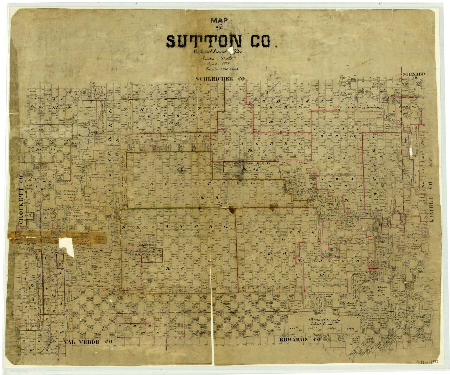
1887 (Creation Date) Map features [Road] to Fort McKavett, Pecan Creek, [Road] to Fort Clark, Pecan Spring, Sonora & more.
Texas General Land Office (Publisher)
Height x Width
24.5 x 29.5 inches
62.2 x 74.9 cm
For more information about our relationship with GLO Maps, please see our GLO Maps Disclaimer.


Reviews
There are no reviews yet