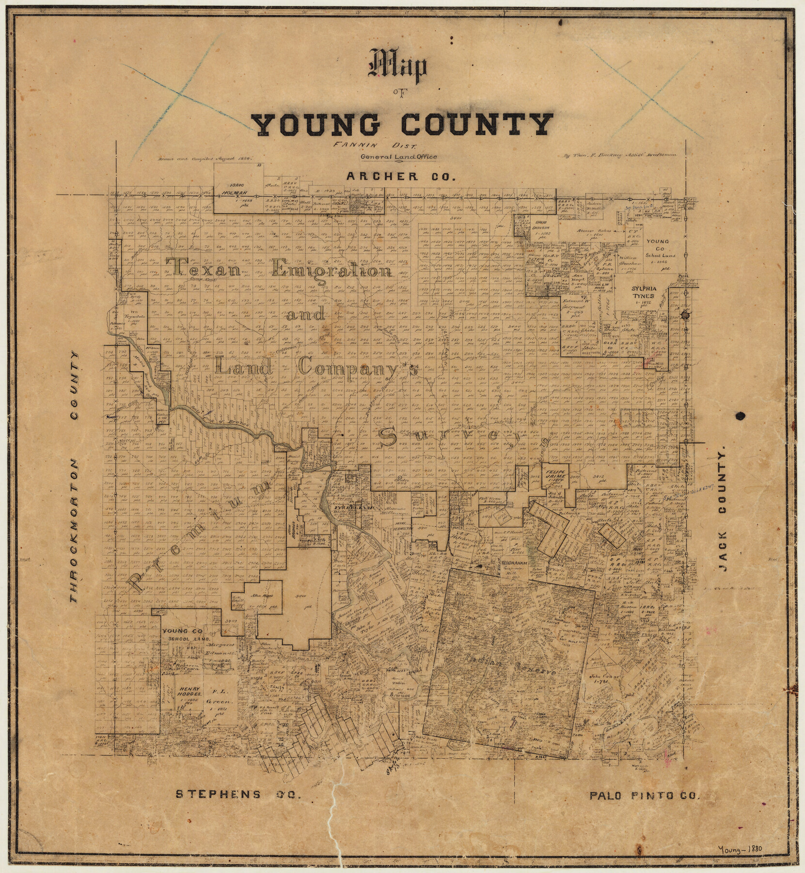
1880 (Creation Date) Map features Cedar Creek, Elm Creek, Briar Creek, Old Fort Worth Road, Fort Belknap, Six Mile Creek, Phantom Hill Road & more.
Texas General Land Office (Publisher)
Theo. F. Pinckney (Draftsman)
Theo. F. Pinckney (Compiler)
Height x Width
22.0 x 20.3 inches
55.9 x 51.6 cm
For more information about our relationship with GLO Maps, please see our GLO Maps Disclaimer.


Reviews
There are no reviews yet