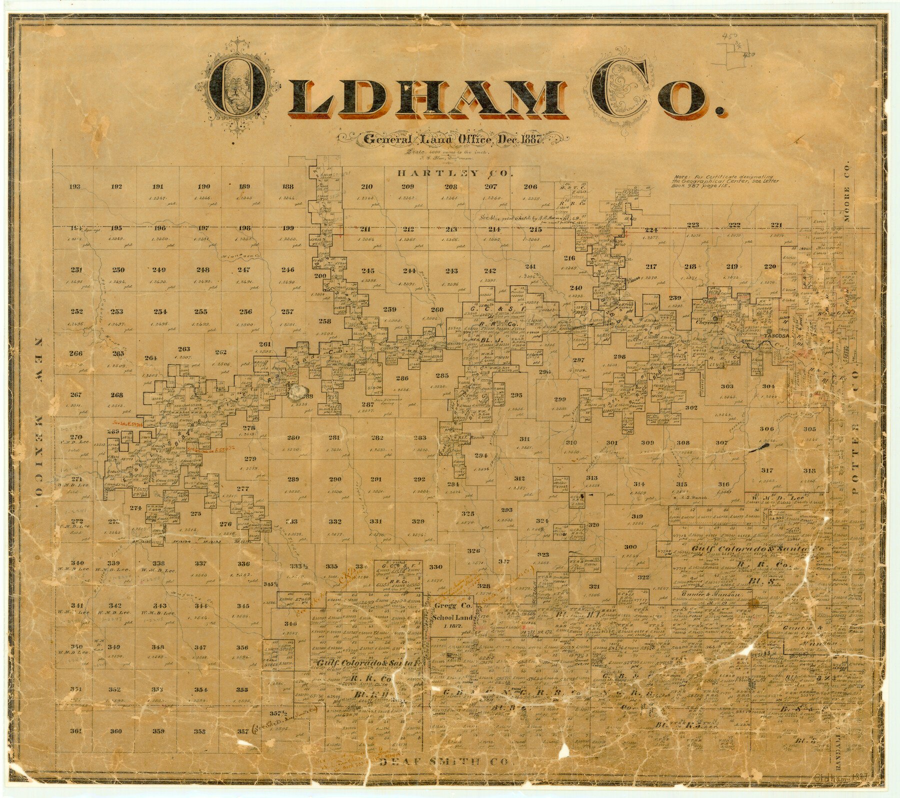
1887 (Creation Date) Map features West Alamoso Creek, L. S. Ranch, Middle Alamosa Creek, Parker Creek, John Dinman’s Spring, Trujillo Creek, Mujares Creek & more.
Texas General Land Office (Publisher)
F.G. Blau (Compiler)
F.G. Blau (Draftsman)
Height x Width
23.4 x 26.4 inches
59.4 x 67.1 cm
For more information about our relationship with GLO Maps, please see our GLO Maps Disclaimer.


Reviews
There are no reviews yet