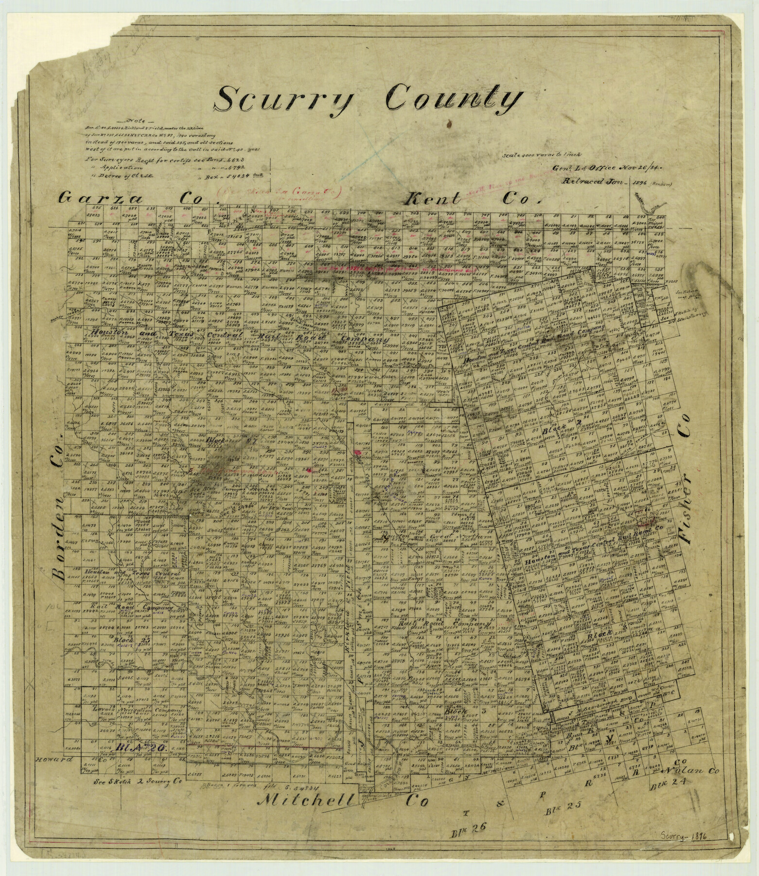
1896 (Creation Date) Map features Double Mountain Fork, Gopher Creek, Sweet Water Creek, Culvers Creek, Gairy Creek Elm Fork, Deer Creek, Sulphur Creek, Colorado River & more.
Texas General Land Office (Publisher)
Sam Bonham (Draftsman)
Height x Width
23.5 x 20.4 inches
59.7 x 51.8 cm
For more information about our relationship with GLO Maps, please see our GLO Maps Disclaimer.


Reviews
There are no reviews yet