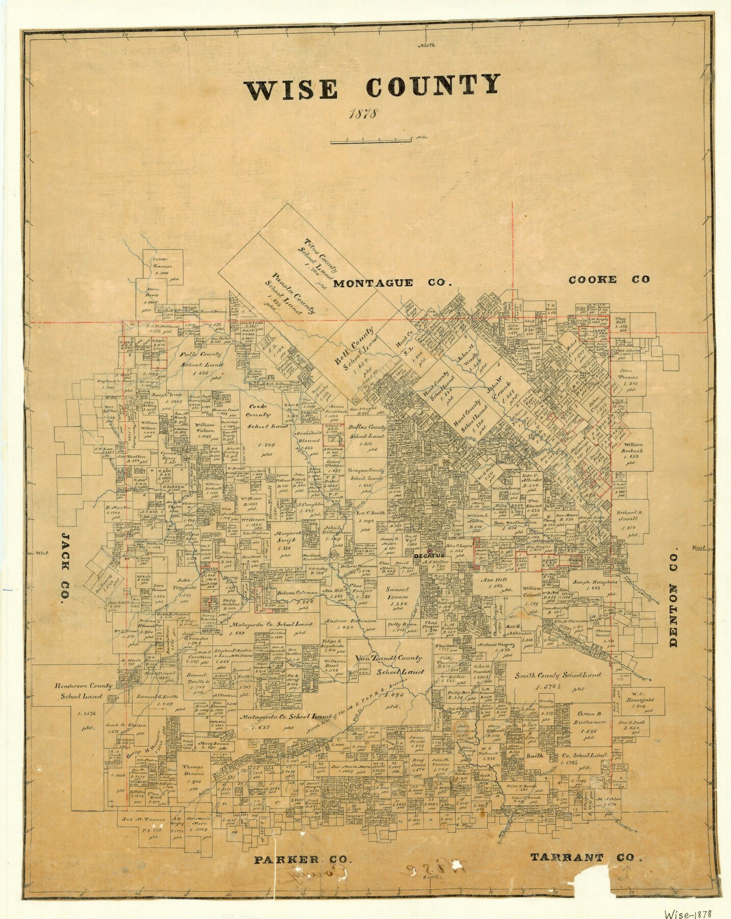
1878 (Creation Date) Map features Salt Creek, Thompson Creek, Willow Creek, Bean Creek, Garrett Creek, Vale Creek, Walnut Creek, Deep Creek, Oliver Creek, Boggy Creek, Rock Creek, Durrett Creek & more.
Texas General Land Office (Publisher)
Height x Width
27.2 x 21.6 inches
69.1 x 54.9 cm
For more information about our relationship with GLO Maps, please see our GLO Maps Disclaimer.


Reviews
There are no reviews yet