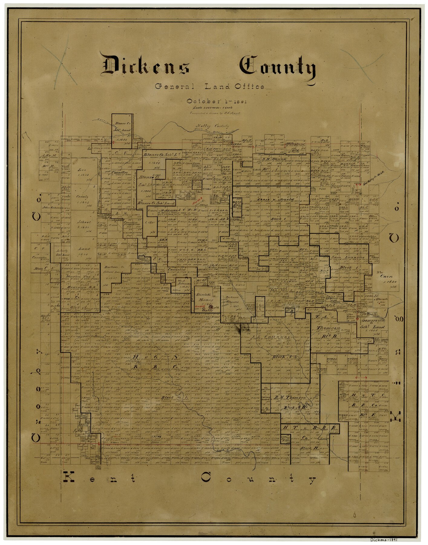
1891/10/2 (Creation Date) Map features Dan Corleys Creek, Georgia Creek, South Fork of Pease River, Pease River, Jackson Creek, Hades Creek, Branch of White River, Red Mud Creek & more.
Texas General Land Office (Publisher) P.F. Appell (Compiler) P.F. Appell (Draftsman)
Height x Width
25.7 x 20.6 inches
65.3 x 52.3 cm
For more information about our relationship with GLO Maps, please see our GLO Maps Disclaimer.


Reviews
There are no reviews yet