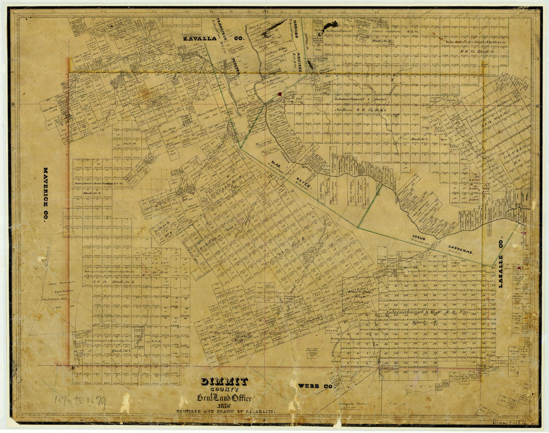
1876 (Creation Date) Map features West Fork of Carrizo Creek, Presidio Crossing, Charco el Burro, Los Piloncillos, San Pedro Creek, San Lorenzo Creek, Burro Creek & more.
In use from 1876 to 1879.
Texas General Land Office (Publisher) F.H. Arlitt (Compiler) F.H. Arlitt (Draftsman)
Height x Width
21.0 x 26.6 inches
53.3 x 67.6 cm
For more information about our relationship with GLO Maps, please see our GLO Maps Disclaimer.


Reviews
There are no reviews yet