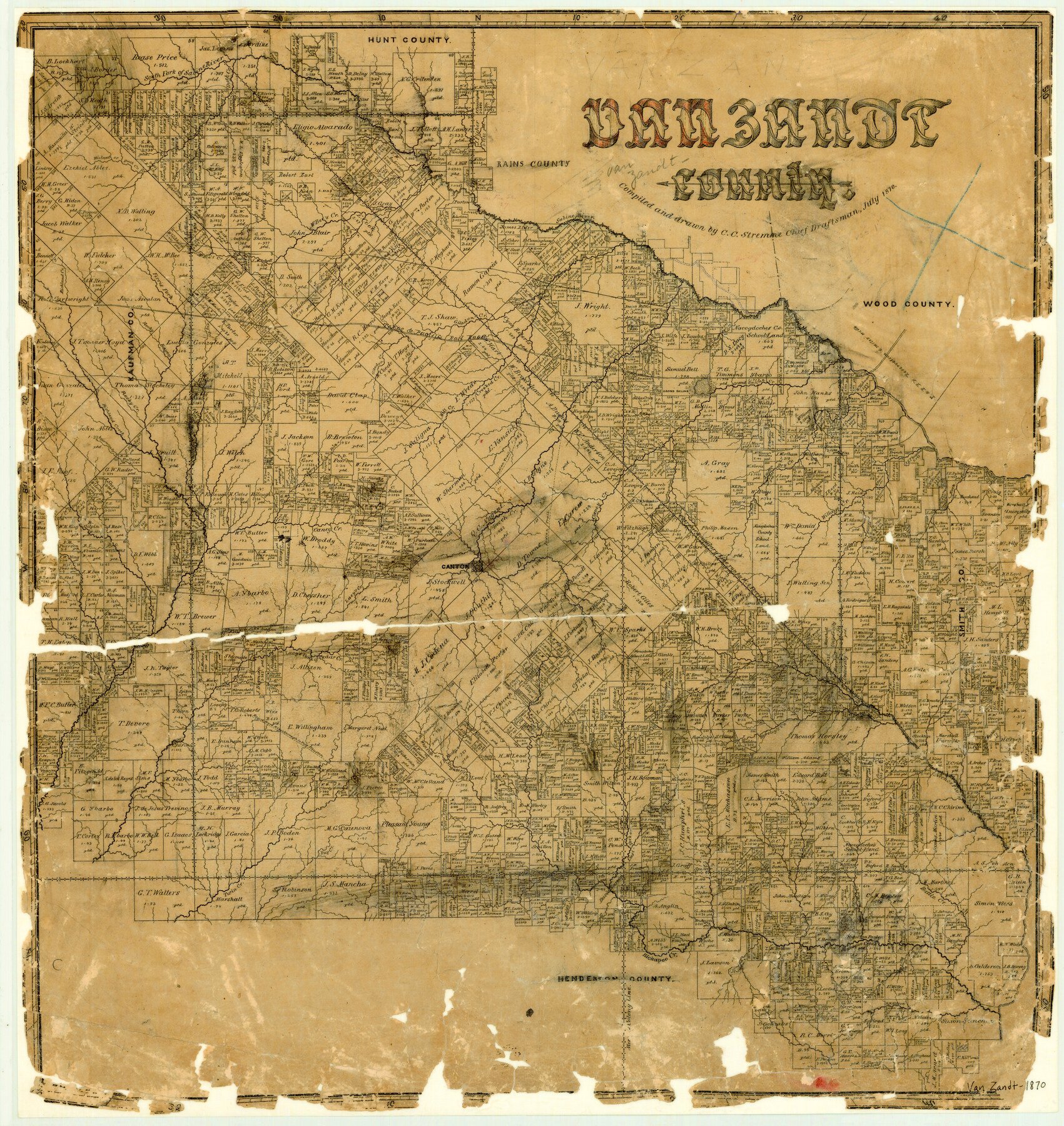
1870 (Creation Date) Map features Twin Creek, Cowleach Creek, Kickapoo Creek, Lacy’s Fork of Cedar Creek, Kingsborough Road, Fort Houston Road, Alligator Creek, Creamlevel Creek, Beaver Creek, Murchison’s Creek & more.
Texas General Land Office (Publisher)
C.C. Stremme (Draftsman)
C.C. Stremme (Compiler)
Height x Width
22.9 x 21.6 inches
58.2 x 54.9 cm
For more information about our relationship with GLO Maps, please see our GLO Maps Disclaimer.


Reviews
There are no reviews yet