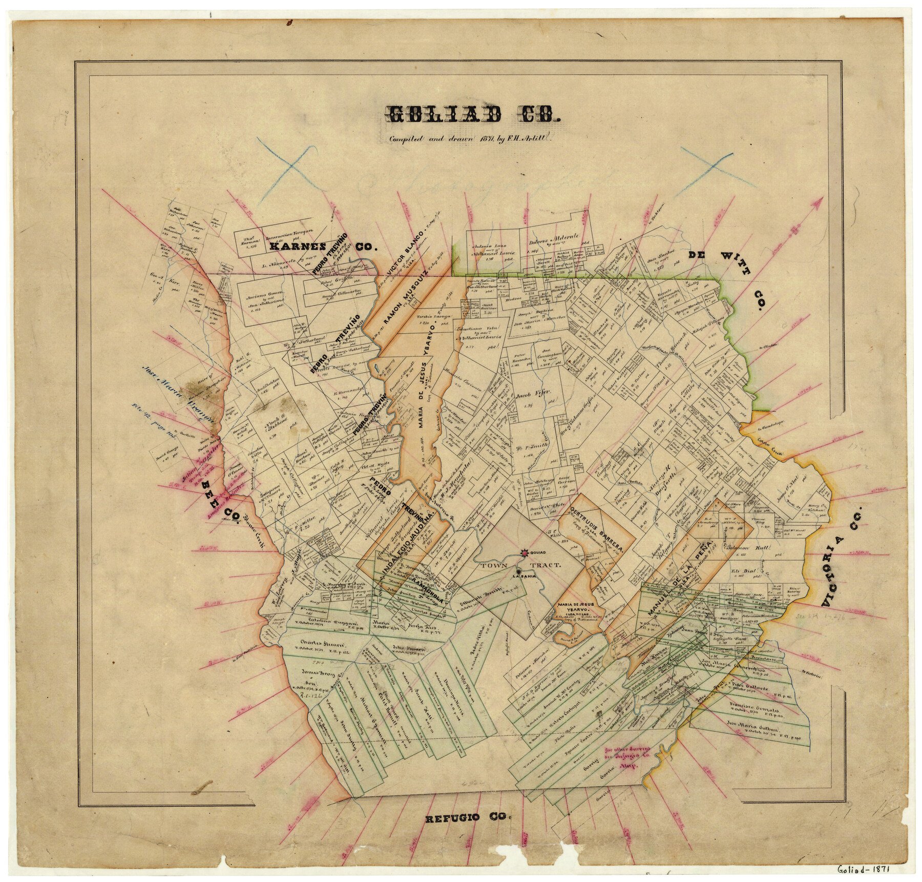
1871 (Creation Date) Map features Richland Creek, 18 Mile Creek, Sarco Creek, Blanco Creek, Miller’s Creek, Mocorera Creek, San Antonio River, Cadena Creek & more.
Texas General Land Office (Publisher) F.H. Arlitt (Compiler) F.H. Arlitt (Draftsman)
Height x Width
22.5 x 23.4 inches
57.2 x 59.4 cm
For more information about our relationship with GLO Maps, please see our GLO Maps Disclaimer.


Beverly Blackman (verified owner) –
The map was everything I hoped it would be.