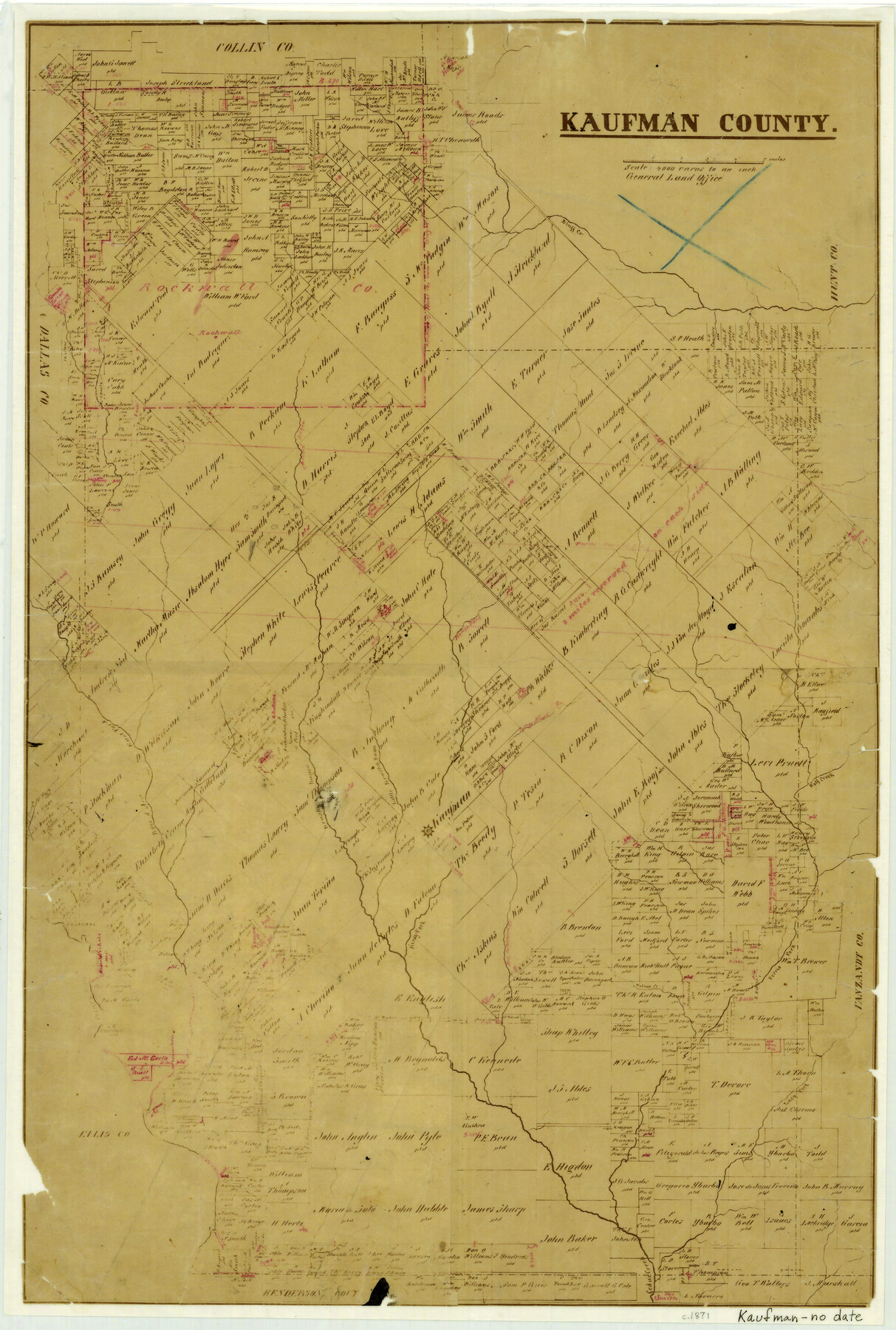
1871 (Creation Date) Map features Bluff Creek, Rockwall, Kings Fork, Wolf Creek, College Mound Creek, Little Brushy Bayou, Brushy Bayou & more.
Texas General Land Office (Publisher)
Height x Width
22.3 x 15.0 inches
56.6 x 38.1 cm
For more information about our relationship with GLO Maps, please see our GLO Maps Disclaimer.


Reviews
There are no reviews yet