
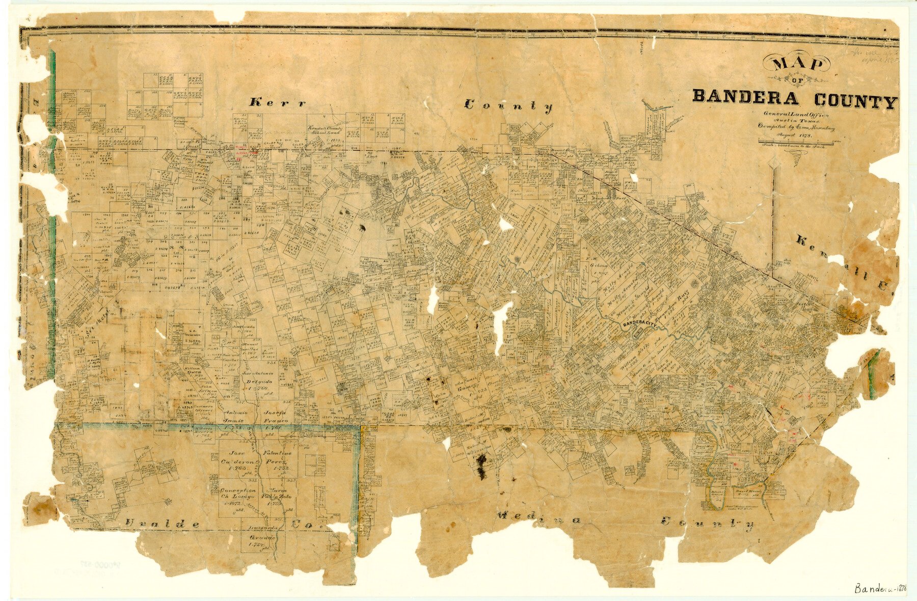
1878 (Creation Date) Map features Hicks Creek, West Prong of Medina River, East Prong of Vera’s Creek, Arroyo de Flanco, Camp Verde Road, Comfort Road, Kerrville Road, Fort Terrell Road & more.
Texas General Land Office (Publisher) E. von Rosenberg (Compiler)
Height x Width
19.3 x 29.4 inches
49.0 x 74.7 cm
For more information about our relationship with GLO Maps, please see our GLO Maps Disclaimer.


Reviews
There are no reviews yet