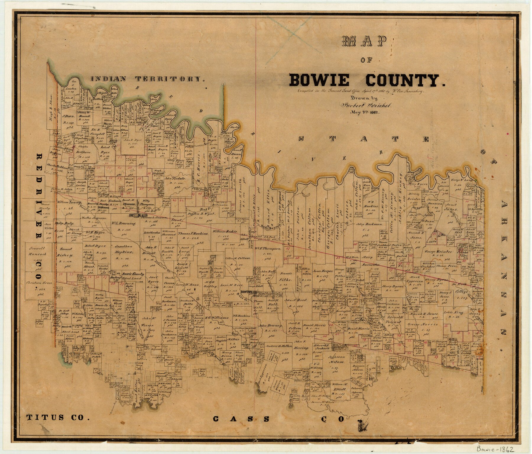
4/17/1860 (Compilation Date) 5/7/1862 (Creation Date) Map features Boston, Stephenson’s Ferry, Brook’s Creek, Janes Creek, Herring’s Creek, Elliott’s Creek, Weavers Creek & more.
Compiled April 17, 1860; drawn May 7, 1862.
Texas General Land Office (Publisher)
Robert Reichel (Draftsman)
W. von Rosenberg (Compiler)
Height x Width
20.0 x 23.5 inches
50.8 x 59.7 cm
For more information about our relationship with GLO Maps, please see our GLO Maps Disclaimer.


Reviews
There are no reviews yet