
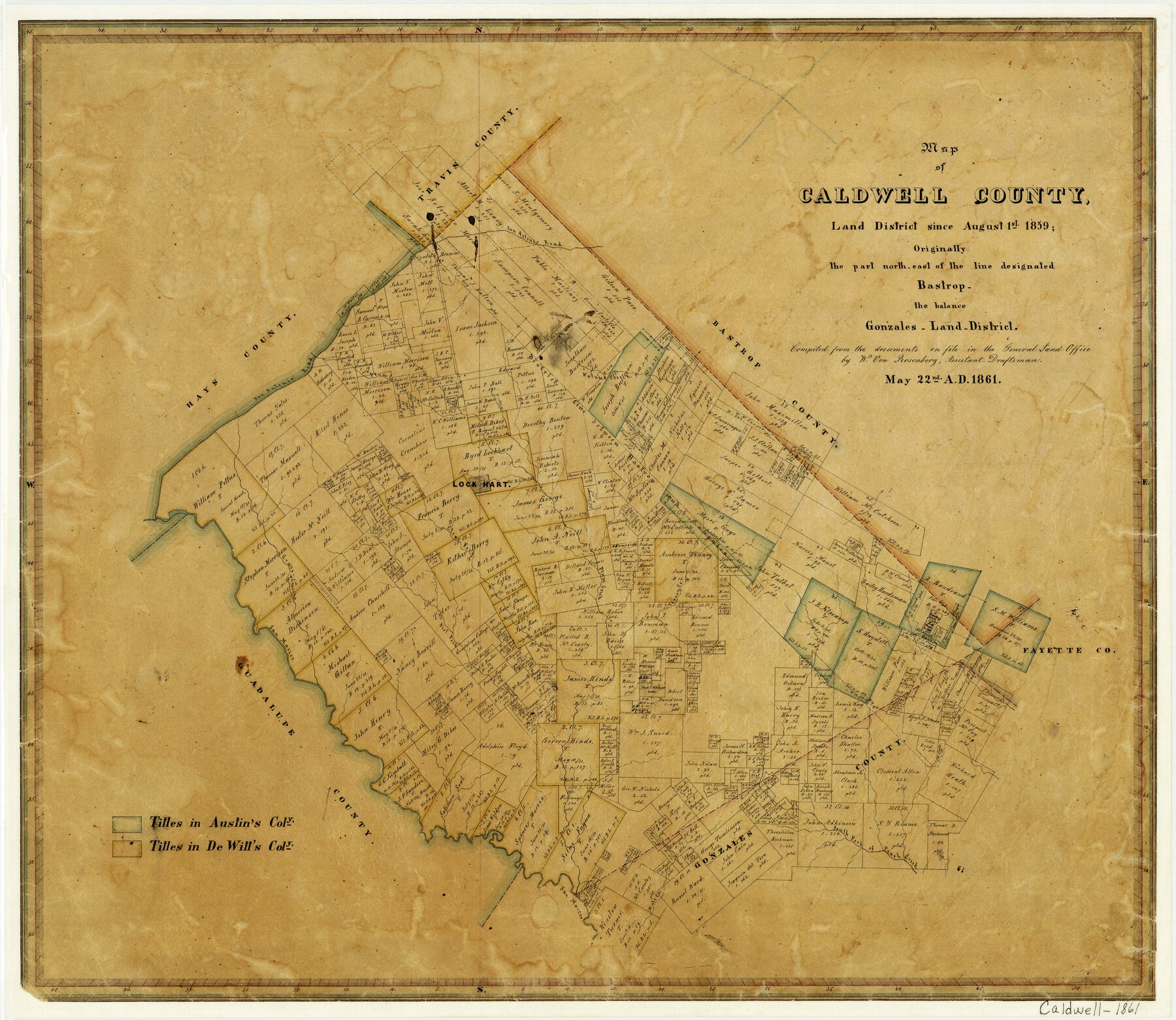
1861/5/22 (Creation Date) Map features San Antonio Road, Walnut Creek, Plum Creek, Lockhart, Clear Fork of San Marcos River, Grass Creek, San Marcos River & more.
Texas General Land Office (Publisher)
W. von Rosenberg (Draftsman)
Height x Width
19.9 x 23.0 inches
50.5 x 58.4 cm
For more information about our relationship with GLO Maps, please see our GLO Maps Disclaimer.


Reviews
There are no reviews yet