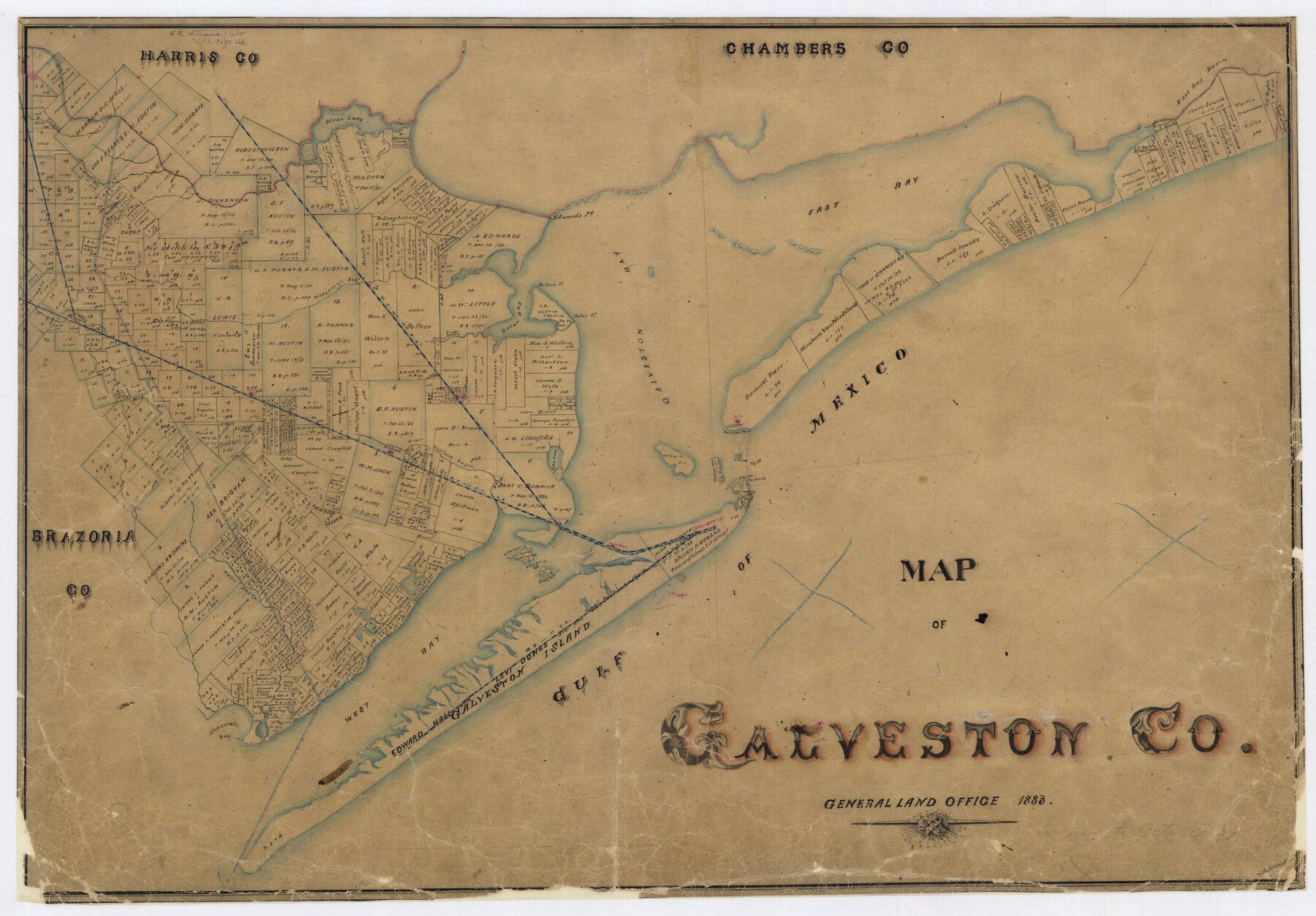
1883 (Creation Date) Map features Dollar Point, Middle Deer Island, South Deer Island, Chocolate Bay, Hall’s Bayou, Highland Bayou, Dickenson’s [sic] Bayou, Mustang Creek & more.
In use to October 1891.
Texas General Land Office (Publisher)
V. Schmidt (Draftsman)
Height x Width
18.8 x 26.8 inches
47.8 x 68.1 cm
For more information about our relationship with GLO Maps, please see our GLO Maps Disclaimer.


Reviews
There are no reviews yet