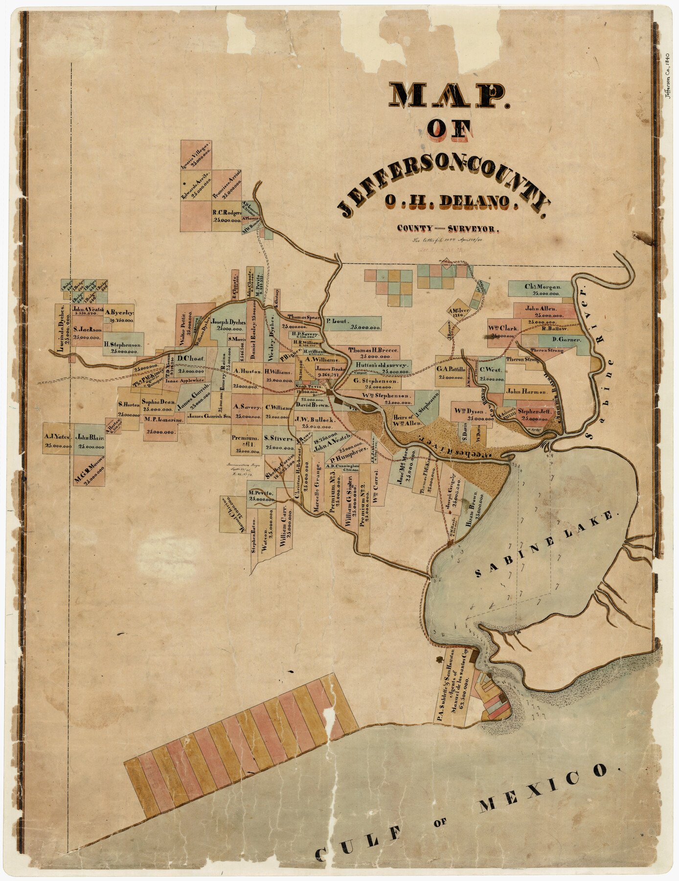
4/24/1840 (Creation Date) Map features Beaumont, St. Anna, Cow Bayou, Adam’s Bayou, Sabine River, Neches River, Sabine Lake & the Gulf of Mexico.
O.H. Delano (Surveyor/Engineer)
Height x Width
34.8 x 27.0 inches
88.4 x 68.6 cm
For more information about our relationship with GLO Maps, please see our GLO Maps Disclaimer.


Reviews
There are no reviews yet