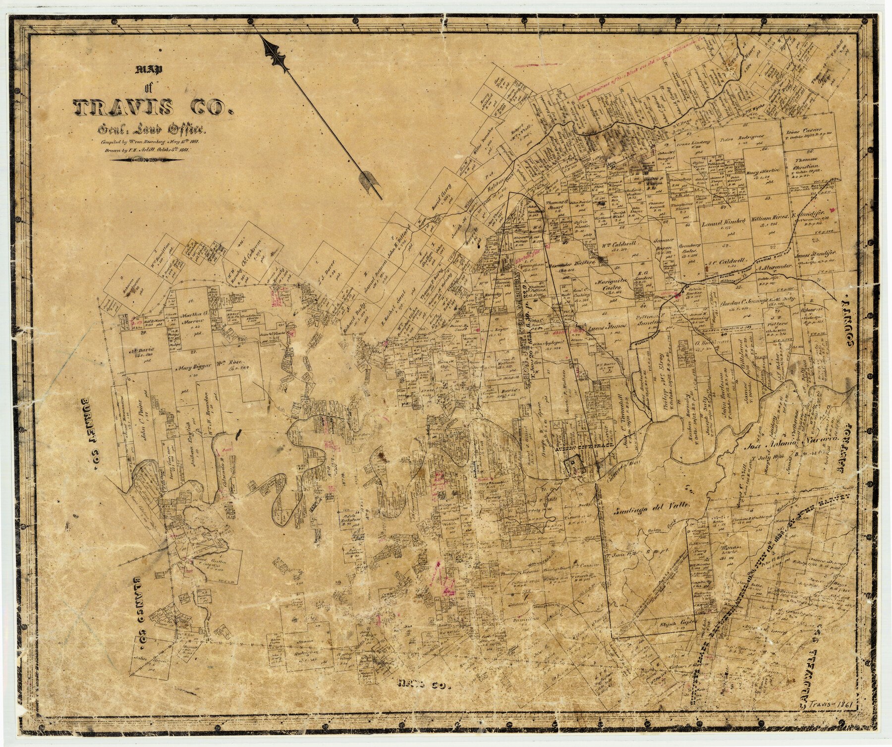
1861/10/8 (Creation Date) Map features Austin, Waller Creek, Bear Creek, Cypress Creek, Pedernales River, Spring Creek, Slaughter’s Creek, Onion Creek, Williamson’s Creek & more.
Texas General Land Office (Publisher)
W. von Rosenberg (Compiler)
F.H. Arlitt (Draftsman)
Height x Width
21.2 x 25.3 inches
53.8 x 64.3 cm
For more information about our relationship with GLO Maps, please see our GLO Maps Disclaimer.


Jesse P. (verified owner) –
A valuable eye opener for thus of us not familiar with early Travis County history. The quality of the map and the processing of my order was a pleasant surprise. Certainly will use this service again.