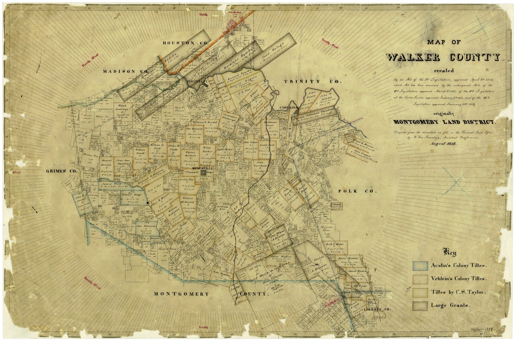
8/1858 (Creation Date) Map features Pool’s Creek, East Fork of San Jacinto River, Neblett’s Creek, Pearl Stream, Little’s Creek, Winters Creek, Boswell’s Creek, McDonald’s Creek & more.
Texas General Land Office (Publisher)
W. von Rosenberg (Compiler)
Height x Width
22.9 x 34.1 inches
58.2 x 86.6 cm
For more information about our relationship with GLO Maps, please see our GLO Maps Disclaimer.


Reviews
There are no reviews yet