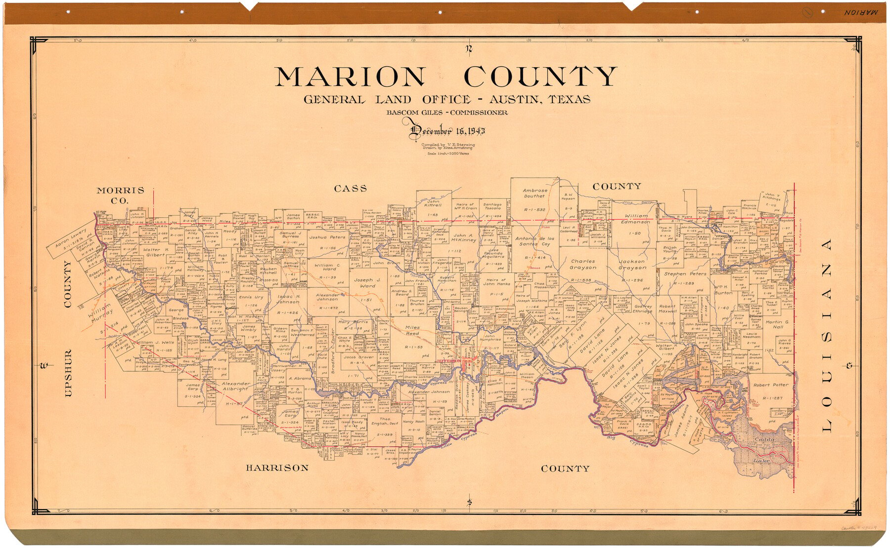
1943/12/16 (Creation Date) Map features Old Indian Village, Sandy Creek, Hollands Creek, Brushy Creek, Caddo Trace, Big Cypress Bayou, Coushatti [sic] Village, Cypress Pond & more.
Texas General Land Office (Publisher)
Eltea Armstrong (Draftsman)
Bascom Giles (GLO Commissioner)
V.E. Sterzing (Compiler)
Height x Width
29.2 x 46.3 inches
74.2 x 117.6 cm
For more information about our relationship with GLO Maps, please see our GLO Maps Disclaimer.


Reviews
There are no reviews yet