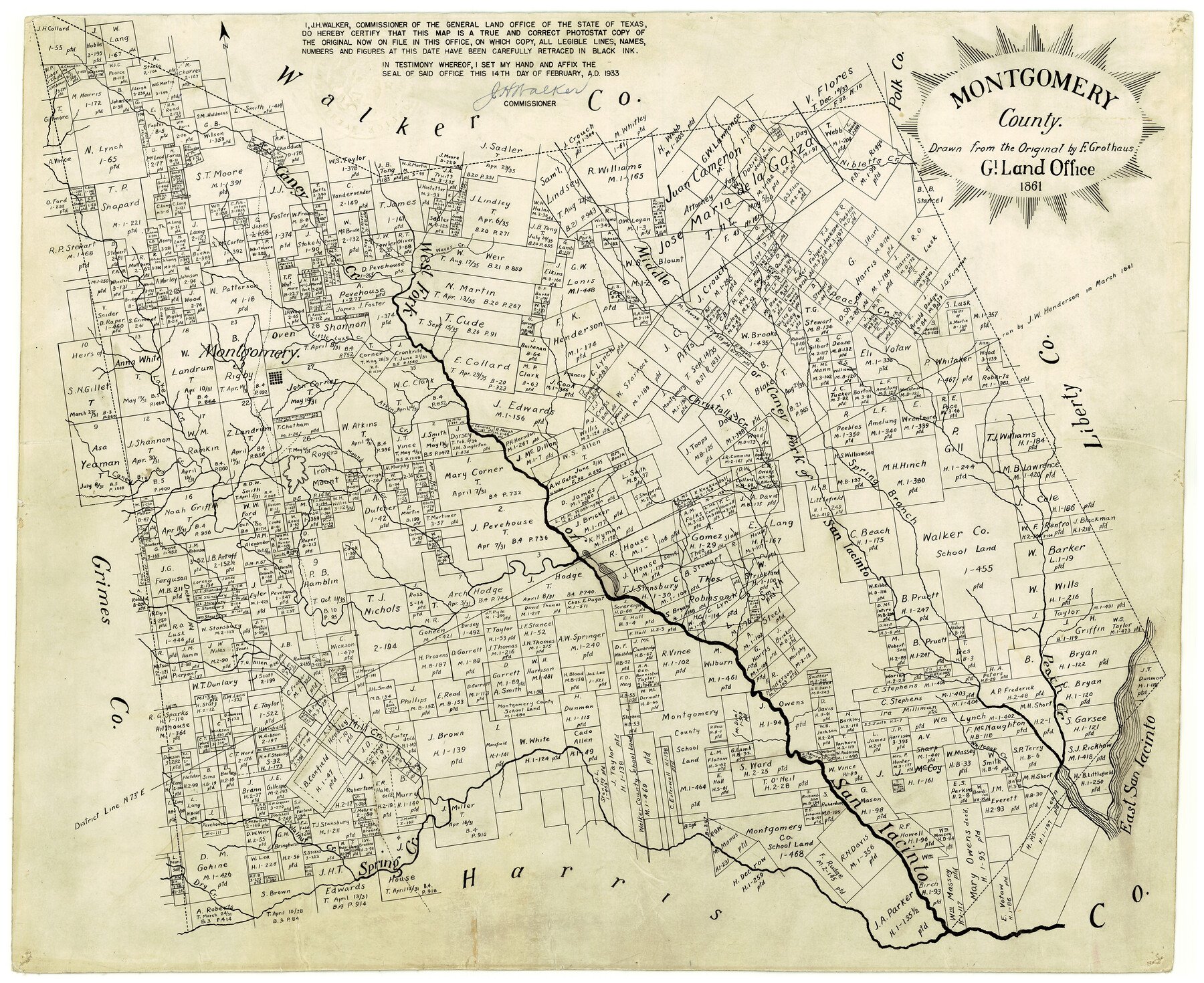
1861 (Creation Date) Map features Caney Fork [of San Jacinto River], Waves Creek, Dry Creek, Walnut Creek, Spring Creek, San Jacinto River, Whiteoak Creek, East San Jacinto River & more.
Texas General Land Office (Publisher)
F. Grothaus (Draftsman)
J.H. Walker (GLO Commissioner)
Height x Width
18.4 x 22.3 inches
46.7 x 56.6 cm
For more information about our relationship with GLO Maps, please see our GLO Maps Disclaimer.


Reviews
There are no reviews yet