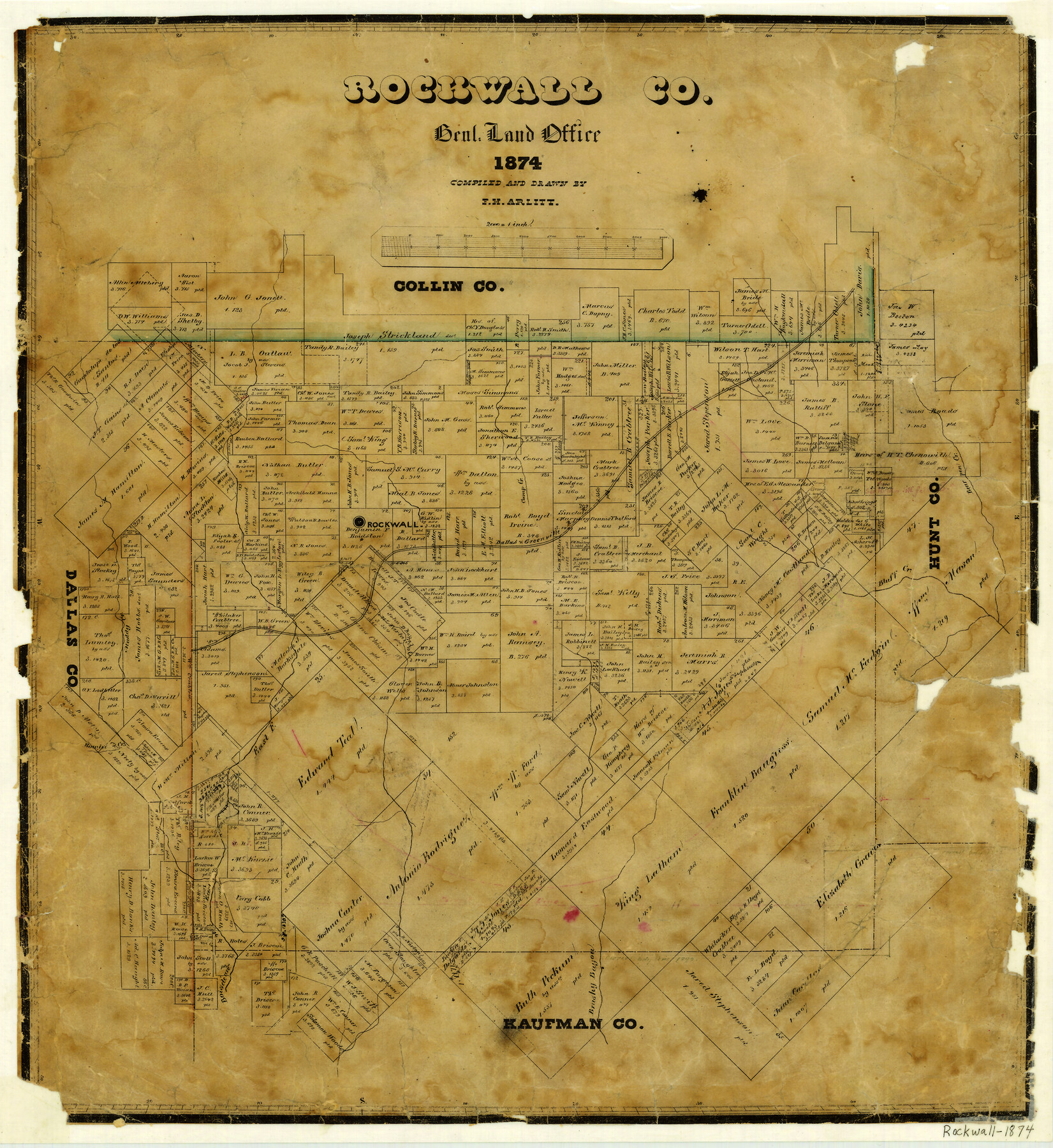
1874 (Creation Date) Map features Camp Creek, Bear Pen Creek, D&G, Rockwall, Muddy Creek, Buffalo Creek & more.
Texas General Land Office (Publisher)
F.H. Arlitt (Compiler)
F.H. Arlitt (Draftsman)
Height x Width
20.3 x 18.6 inches
51.6 x 47.2 cm
For more information about our relationship with GLO Maps, please see our GLO Maps Disclaimer.


Reviews
There are no reviews yet