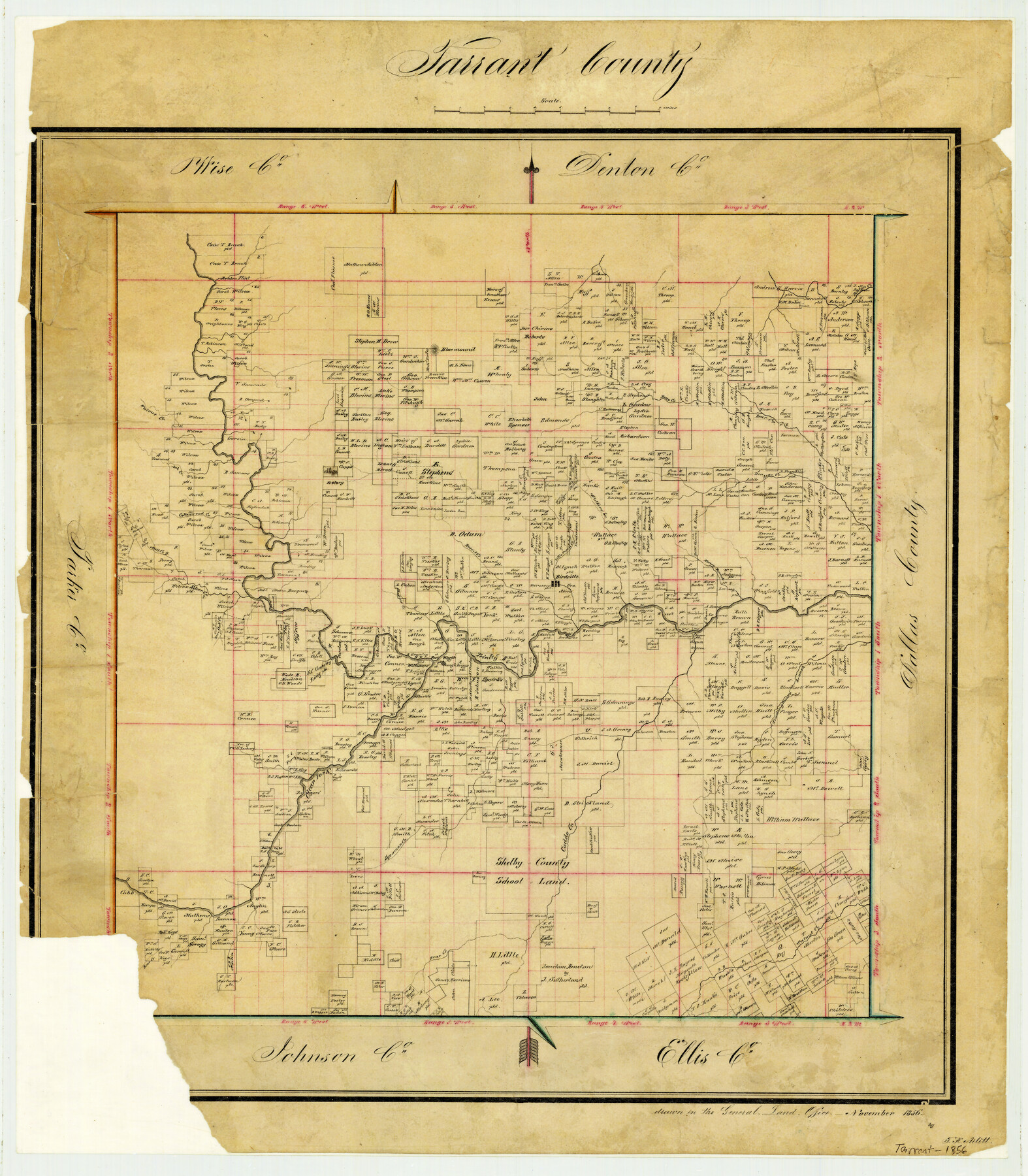
1856 (Creation Date) Map features Silver Creek, Dear [sic] Creek, Sycamore Creek, Caddo Creek, Clear Fork [of Trinity River], Fort Worth & more.
Texas General Land Office (Publisher)
F.H. Arlitt (Draftsman)
Height x Width
22.1 x 19.3 inches
56.1 x 49.0 cm
For more information about our relationship with GLO Maps, please see our GLO Maps Disclaimer.


Randy Aldridge (verified owner) –
I’m very happy with the service and the thick material that the map was printed on. We had a beautiful gold wood frame with black mat. Looks so good.
**Please show me where BenBrook Lake is on the map? Thank you so much!