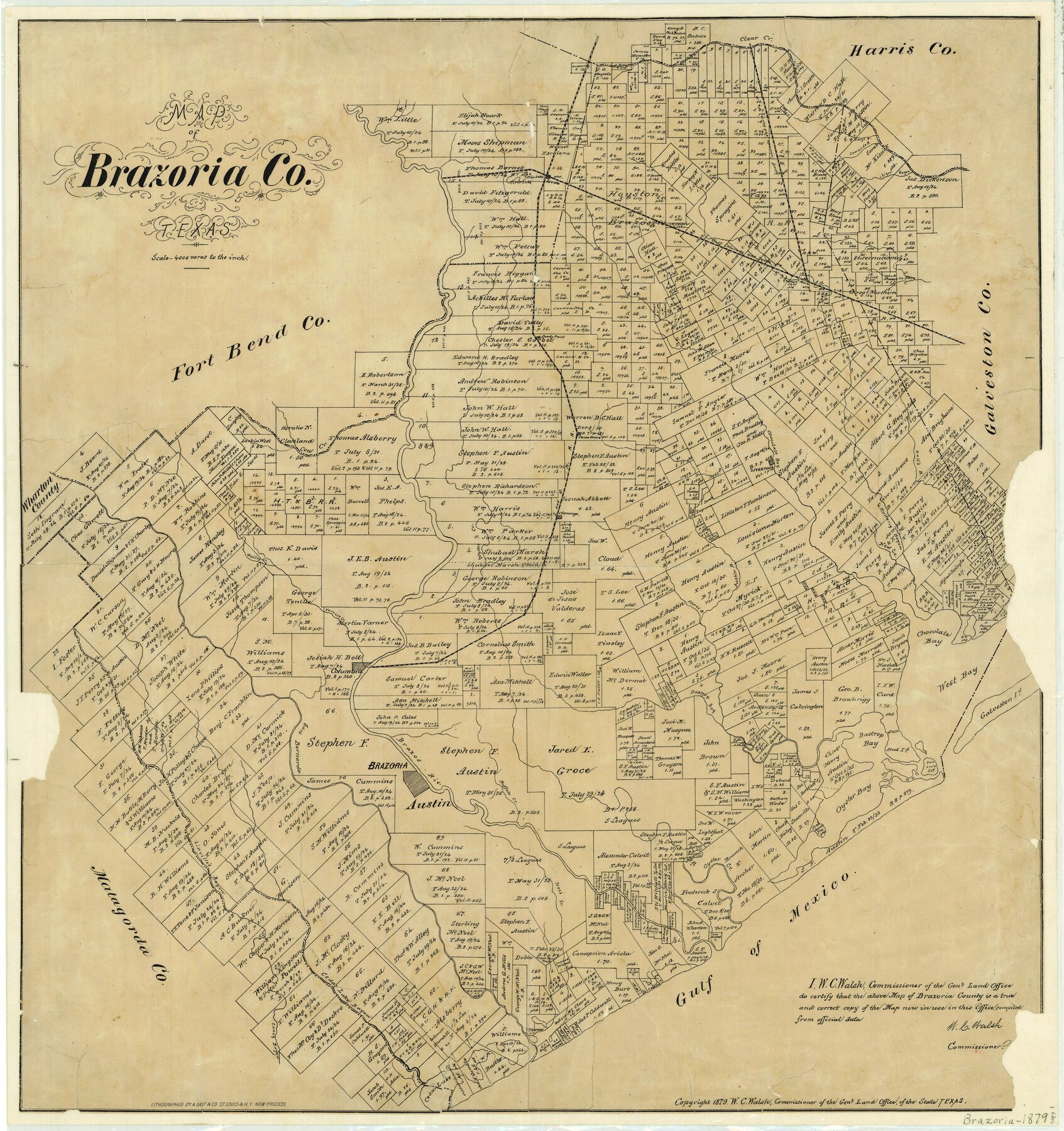
1879 (Copyright Date) ; 1879 (Creation Date) Map features Oyster Bay, Columbia, Chocolate Bay, West Bay, Galveston Island, Mud Island, Bastrop Bay, Bastrop Bay[ou], Brazos River, Brazoria, San Bernardo River & more.
Texas General Land Office (Publisher)
August Gast and Company (Printer)
W.C. Walsh (GLO Commissioner)
Height x Width
26.6 x 25.1 inches
67.6 x 63.8 cm
For more information about our relationship with GLO Maps, please see our GLO Maps Disclaimer.


Harold Lostak (verified owner) –
Tom DiFruscio (verified owner) –
I was very pleased with both the product and the service.