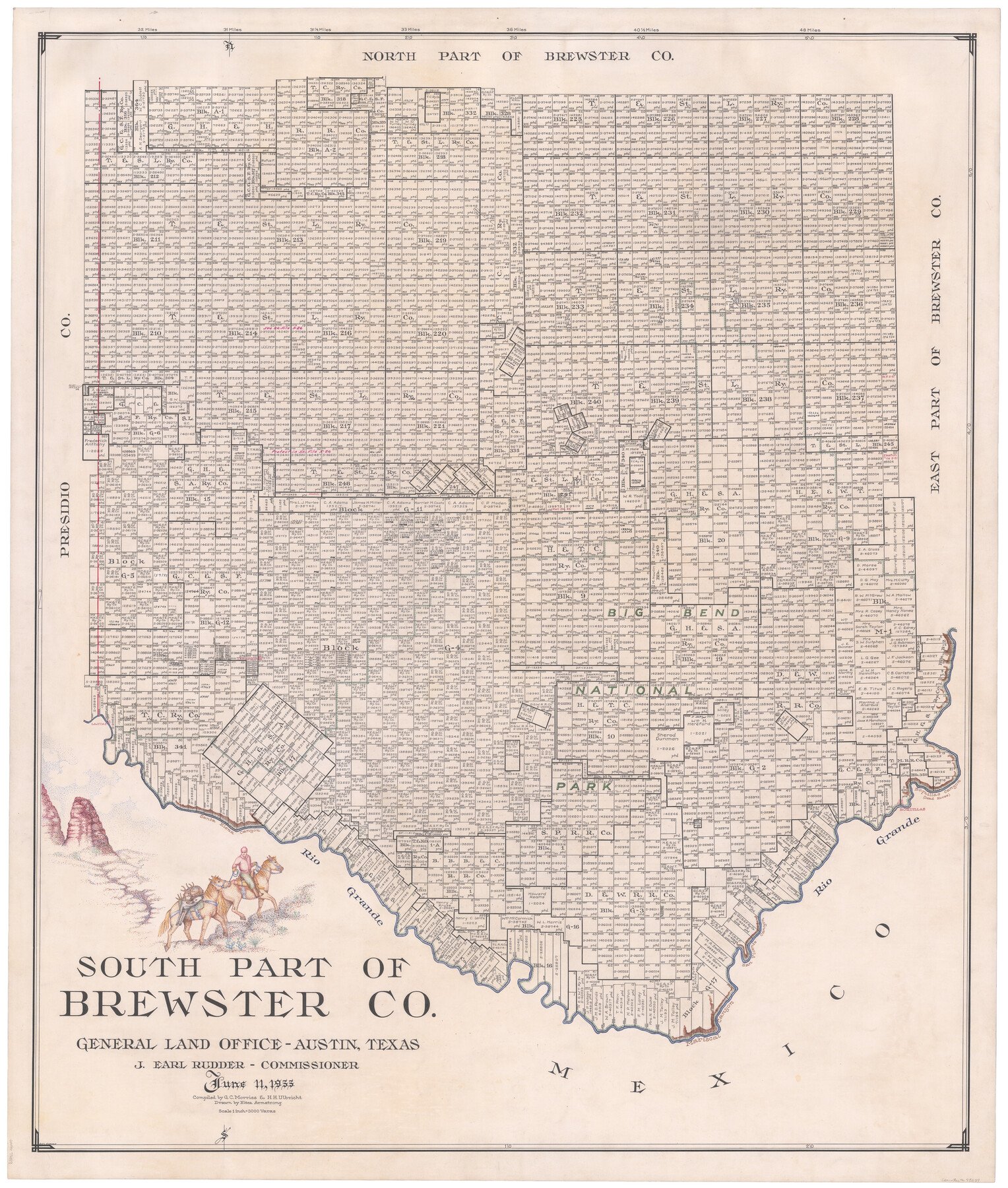
1955/6/11 (Creation Date) Map features Big Bend National Park, Terlingua, Lajitas, Boquillas Canyon, Dead Horse Canyon & more.
Texas General Land Office (Publisher)
Eltea Armstrong (Draftsman)
J. Earl Rudder (GLO Commissioner)
H.H. Ulbricht (Compiler)
G.C. Morriss (Compiler)
Height x Width
48.2 x 40.5 inches
122.4 x 102.9 cm
For more information about our relationship with GLO Maps, please see our GLO Maps Disclaimer.


Reviews
There are no reviews yet