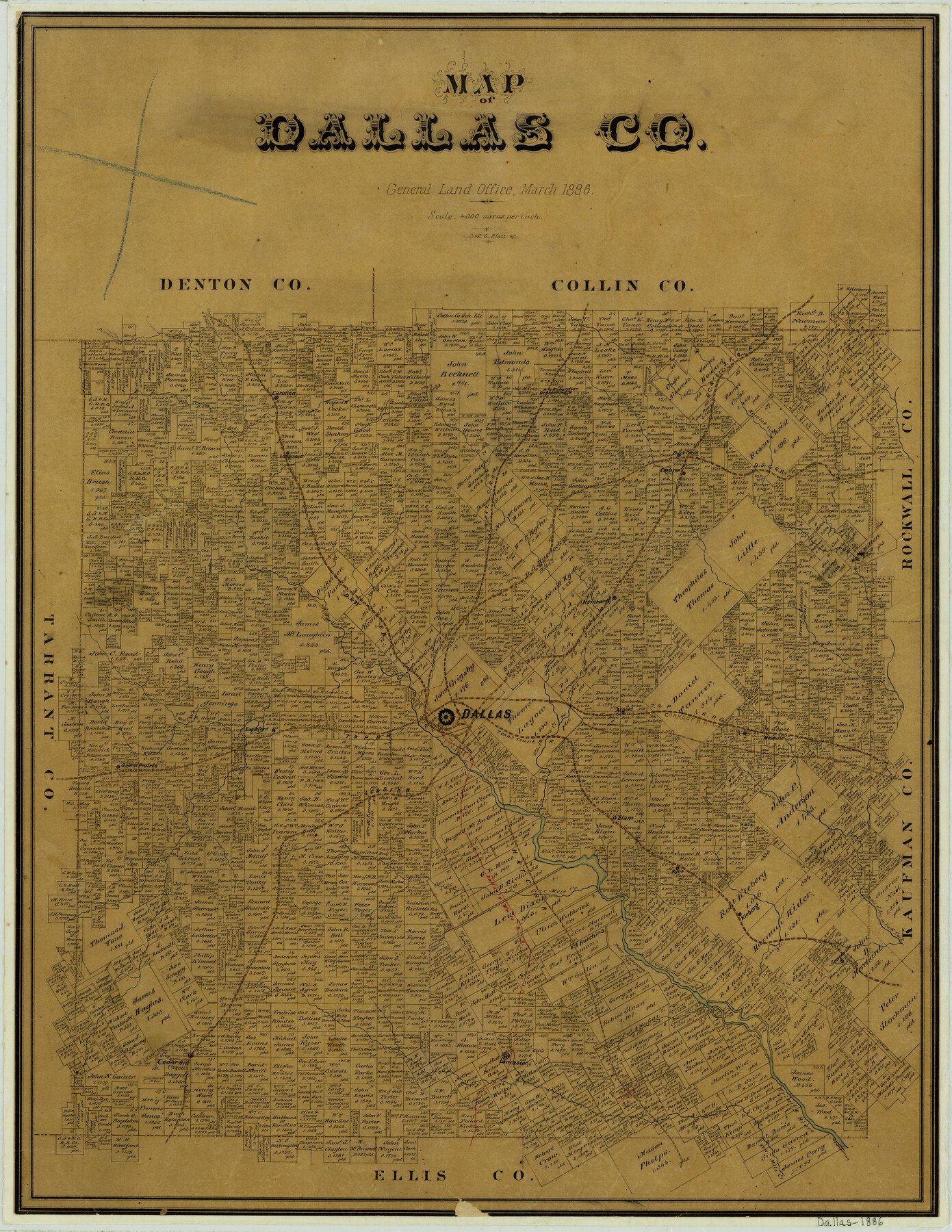
1886 (Creation Date) Map features GC&SF, Arnold, White Rock Creek, T&P, Mesquite, Mesquite Creek, Bois D’Arc Creek & more.
Texas General Land Office (Publisher)
F.G. Blau (Draftsman)
Height x Width
21.9 x 17.0 inches
55.6 x 43.2 cm
For more information about our relationship with GLO Maps, please see our GLO Maps Disclaimer.


Reviews
There are no reviews yet