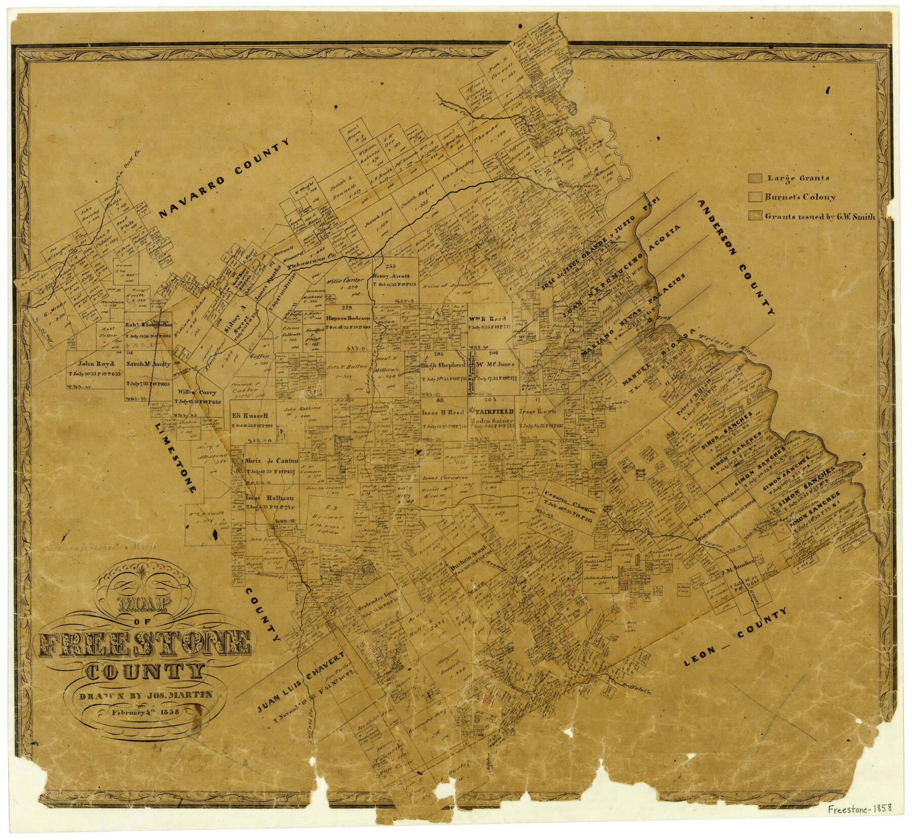
1858/2/4 (Creation Date) Map features Woolf [sic] Fork [of Tahuacano Creek], Aligator [sic] Creek, Lynn Creek, Arnolds Hill, Buffalo Creek, Sand Lake, Burleson Hill, Mustang Creek, Burleson Creek & more.
Texas General Land Office (Publisher)
Joseph Martin (Draftsman)
Height x Width
22.3 x 24.1 inches
56.6 x 61.2 cm
For more information about our relationship with GLO Maps, please see our GLO Maps Disclaimer.


Reviews
There are no reviews yet