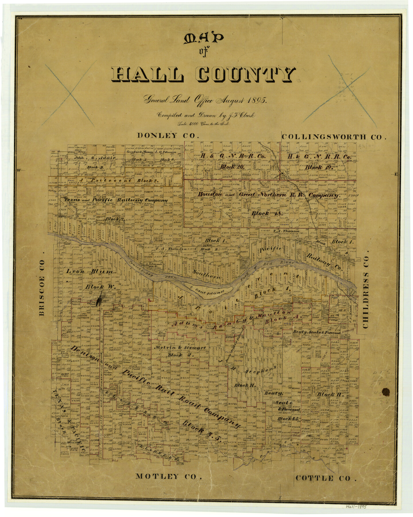
1895 (Creation Date) Map features Jonah Creek, Rustler Creek, Goat Island, Newlin, Turkey Creek, Gypsum Creek, Baylor Creek, Mountain Creek, Little Red River & more.
Texas General Land Office (Publisher)
J.F. Clark (Compiler)
J.F. Clark (Draftsman)
Height x Width
25.2 x 20.2 inches
64.0 x 51.3 cm
Note on map: “In use up to October 1908”.
For more information about our relationship with GLO Maps, please see our GLO Maps Disclaimer.


Reviews
There are no reviews yet