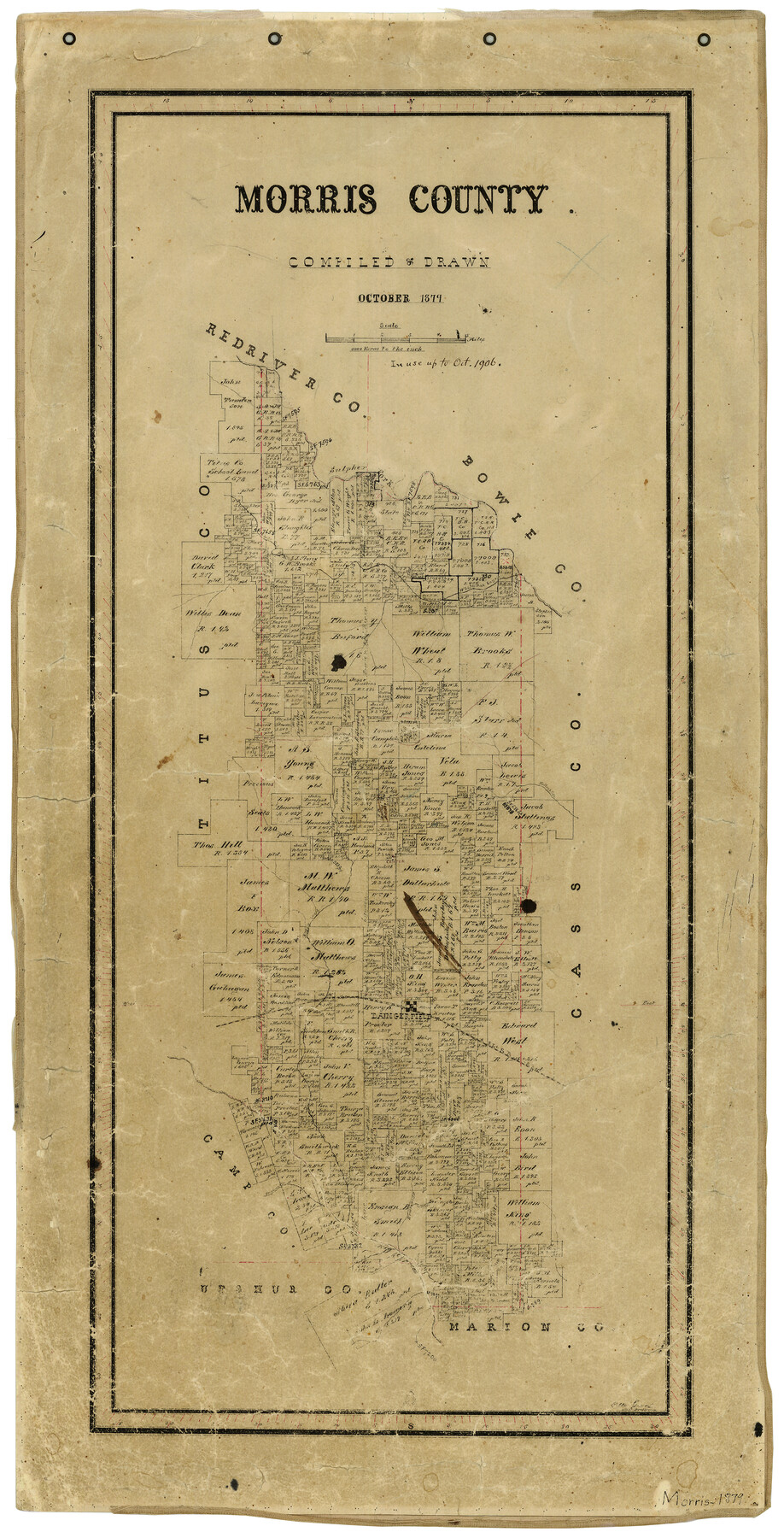
10/1879 (Creation Date) Map features Daingerfield, Holly Creek, Sulphur Fork, White Oak Bayou, Kelly’s Creek, Boggy Creek, EL&RR, Prairie Creek & more.
Texas General Land Office (Publisher)
Otto Groos (Draftsman)
Otto Groos (Compiler)
Height x Width
26.1 x 13.6 inches
66.3 x 34.5 cm
For more information about our relationship with GLO Maps, please see our GLO Maps Disclaimer.


Reviews
There are no reviews yet