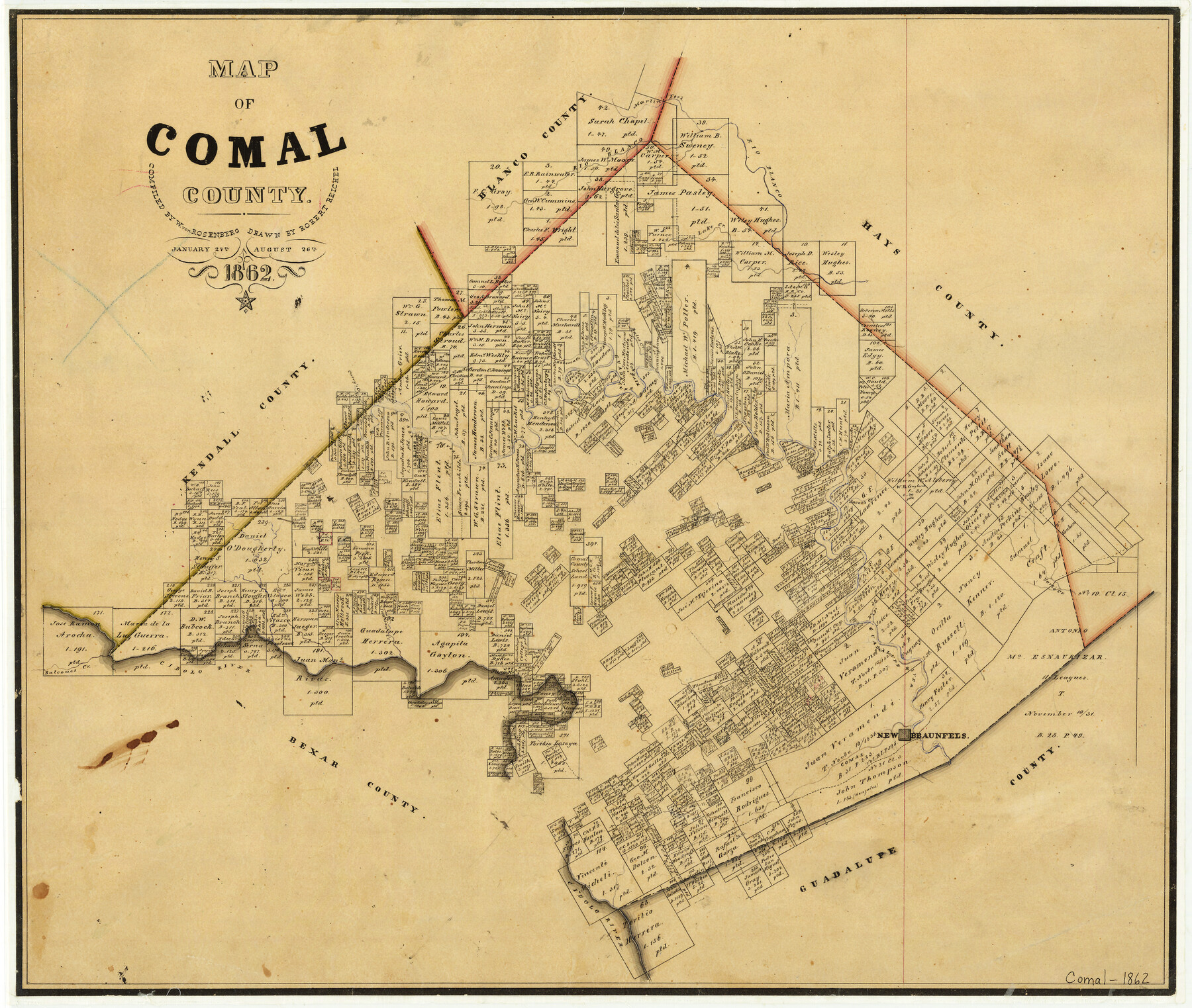
1862/8/26 (Creation Date) Map features Jacob’s Creek, Bates Creek, Cibolo River, Comal Creek, Indian Creek, Cibolo River, Balcones Creek, Bear Creek, York’s Creek & more.
Texas General Land Office (Publisher)
W. von Rosenberg (Compiler)
Robert Reichel (Draftsman)
Height x Width
18.6 x 22.0 inches
47.2 x 55.9 cm
For more information about our relationship with GLO Maps, please see our GLO Maps Disclaimer.


Reviews
There are no reviews yet