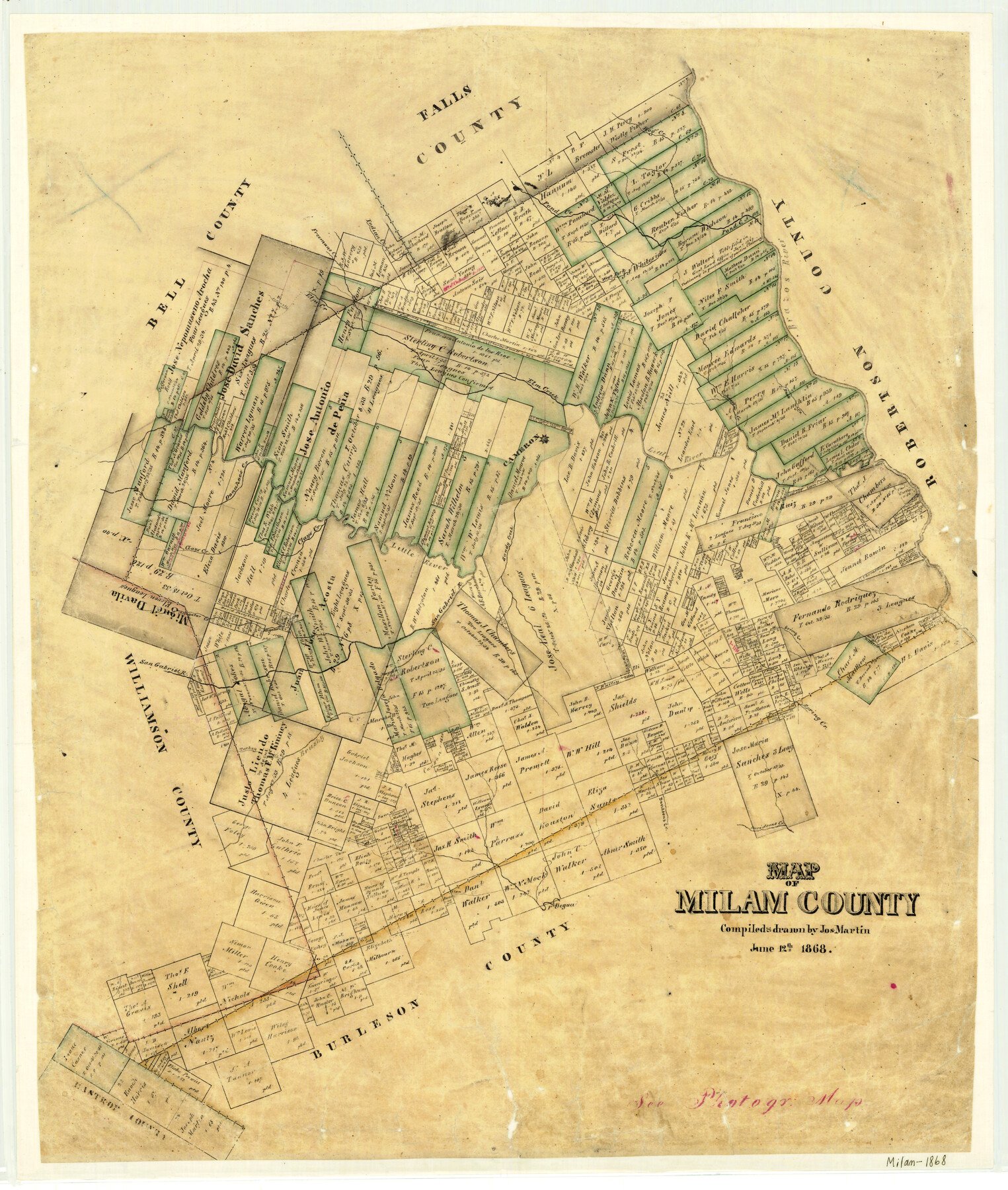
1868/6/12 (Creation Date) Map features Cameron, First Yegua Creek, Allon Creek, Davidsons Creek, Brushy Creek, Turkey Creek, Spring Creek, Sandy Creek, San Gabriel River & more.
Texas General Land Office (Publisher)
Joseph Martin (Compiler)
Joseph Martin (Draftsman)
Height x Width
28.2 x 23.9 inches
71.6 x 60.7 cm
For more information about our relationship with GLO Maps, please see our GLO Maps Disclaimer.


Mark Ellison (verified owner) –