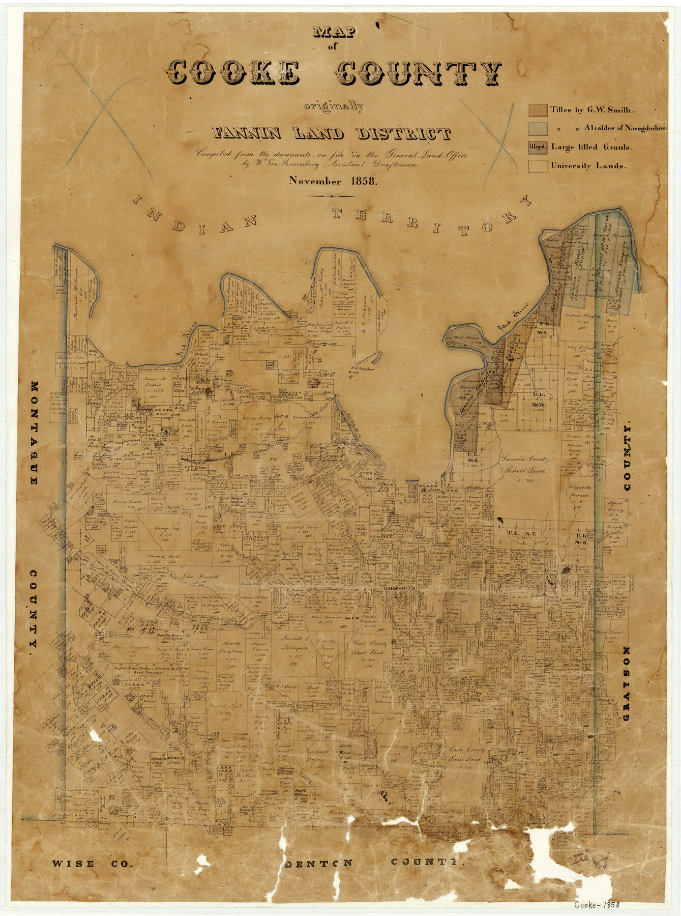
1858 (Creation Date) Map features Red River, Fish Creek, Mineral Creek, Gainsville, Righthand Fork of Trinity River, Elm Fork of Trinity River, Dry Fork of Trinity River, Clear Creek of Elm Fork of Trinity River, Cross Timber Creek & more.
Texas General Land Office (Publisher)
W. von Rosenberg (Compiler)
Height x Width
25.4 x 18.9 inches
64.5 x 48.0 cm
For more information about our relationship with GLO Maps, please see our GLO Maps Disclaimer.


Reviews
There are no reviews yet